Mount Weather Emergency Operations Center
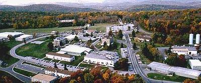
Mount Weather Emergency Operations Center, Emergency command center in the Blue Ridge Mountains, Virginia, United States.
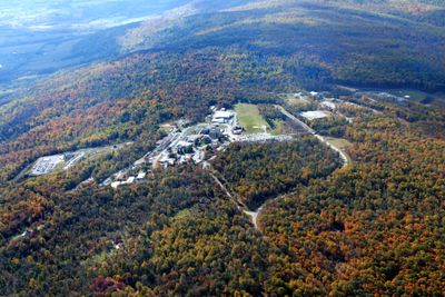
This secure facility sits hidden among tall trees and rolling hills in the Blue Ridge Mountains, surrounded by peaceful forests and guarded by fences that keep the site private and quiet.
The site began over a century ago with weather balloons launched by the National Weather Bureau, later transformed into a government command center, and became a key emergency hub after the Cold War.
The people working here focus on emergency management and government continuity, operating behind the scenes to prepare for crises and protect the nation with a serious and efficient approach to their duties.
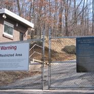
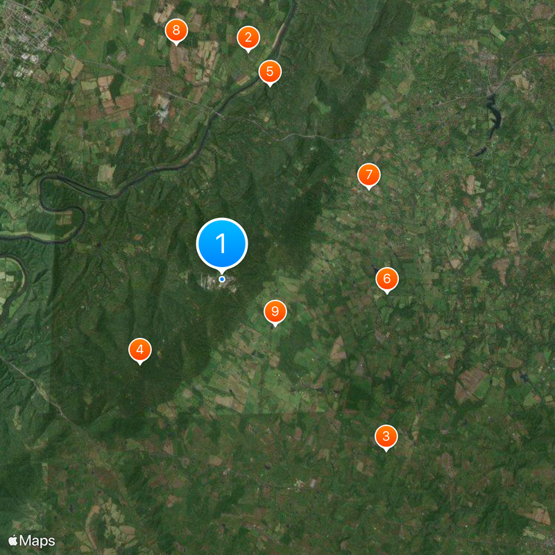
The facility is located near Bluemont on Blue Ridge Mountain Road, but visitors cannot enter without special permission, as the site remains a restricted government operation with no public tours available.
Stories and rumors have circulated for decades about what happens inside this hidden bunker, with some people imagining secret documents or advanced technology, though its true purpose remains emergency preparedness and government protection.
Location: Virginia
Operator: Federal Emergency Management Agency
Address: 19844 Blue Ridge Mountain Rd, Bluemont, VA 20135, USA
Website: https://fema.gov/media-library/assets/documents/95583
GPS coordinates: 39.06300,-77.88900
Latest update: December 12, 2025 16:57
This collection brings together underground military sites, strategic bunkers, and highly secured installations across the world. Many of these places were built during the Cold War, when nuclear threats pushed governments to create protected command centers deep under mountains or in remote areas....
Holy Cross Abbey, Virginia
9.3 km
Welbourne
9.6 kmParis Mountain
4.7 km
Cool Spring Battlefield
8.1 km
Ebenezer Baptist Churches
6.7 km
Great Country Farms
7 km
Long Marsh Run Rural Historic District
9.7 km
Cleremont Farm
2.8 km
Bluemont Historic District
7.2 km
Unison Historic District
8.9 km
Bear's Den Rural Historic District
6.2 km
Green Garden
7.5 km
Rock Hill Farm
5.3 km
Crednal
9.2 km
Upperville Historic District
7.9 kmUpperville United Methodist Church
7.8 kmHeronwood
9.5 kmRiver Access
7.6 kmRiver Access
8.5 kmTire Mountain
6.6 kmCorn Maze
6.9 kmGrass Maze
6.7 kmRope Maze
6.6 kmJumping Pillow
6.6 kmSculpture, Work of art
6 kmBear's Den Overlook
6.1 kmBridle Overlook
8.8 kmPua Falls
1.4 kmVisited this place? Tap the stars to rate it and share your experience / photos with the community! Try now! You can cancel it anytime.
Discover hidden gems everywhere you go!
From secret cafés to breathtaking viewpoints, skip the crowded tourist spots and find places that match your style. Our app makes it easy with voice search, smart filtering, route optimization, and insider tips from travelers worldwide. Download now for the complete mobile experience.
A unique approach to discovering new places❞
— Le Figaro
All the places worth exploring❞
— France Info
A tailor-made excursion in just a few clicks❞
— 20 Minutes