Enable Location

We need your location to show you interesting places around you

Discover nearby places

Find interesting locations and hidden gems around you

Precise directions

Get accurate directions and distances to places

Your location is never shared with other users. It's only used when you tap the location button.

Log in to your account

Start exploring — it's free

Trusted by 63,696 travelers worldwide

Continue with Google
Continue with Apple
or

We will send you a code to connect

By continuing, you accept our Terms and Conditions and our Privacy Policy

Check your inbox

We've sent a pincode in your inbox. Please enter the code below.

Discussion Reviews Photo
19.8k Popularity

Mount Olive, town in North Carolina, United States

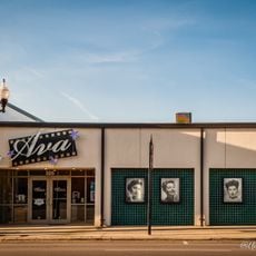
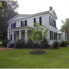
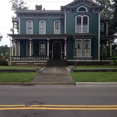
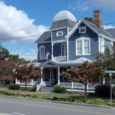
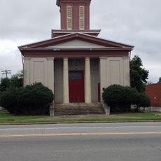
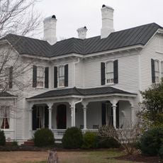
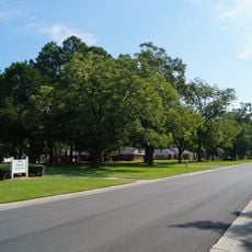
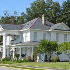
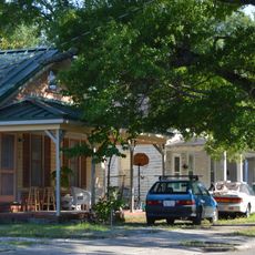
Mount Olive is a small town in eastern North Carolina straddling Wayne and Duplin counties. It features a mix of older homes, small shops, churches, and quiet streets bisected by an active railroad line that still carries freight trains through the downtown area.

The town emerged in the 1850s around a railroad depot built on land purchased from prominent Black landowner Adam Winn. Growth accelerated with the railroad's arrival, and the town was officially incorporated in 1870 as a trading and transportation center.

The name Mount Olive references the Biblical Mount of Olives, though the town itself is flat and grows no olives. Residents take pride in their pickle-making heritage and celebrate it each April with a festival that has become central to how the community sees itself.

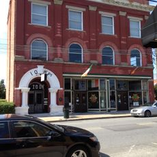
The town is flat and easy to walk through, with a manageable downtown centered on Center Street where most shops and points of interest cluster together. The compact layout makes it simple to explore the main areas on foot without difficulty.

The town celebrates its pickle industry with an unusual New Year's tradition where a 3-foot-tall pickle is dropped down a pole instead of a ball. This quirky custom makes Mount Olive one of the few places in America that marks the new year with produce rather than a sphere.

The community of curious travelers

AroundUs brings together thousands of curated places, local tips, and hidden gems, enriched daily by 60,000 contributors worldwide.

Start exploring
Location
Location
Elevation above the sea
48 m
GPS coordinates
35.19500,-78.06750
Latest update
February 16, 2026 22:20
Around this place
Ava Gardner Museum
United States of America

Ava Gardner Museum

43.3 km
Bentonville Battlefield
United States of America

Bentonville Battlefield

26.4 km
Cliffs of the Neuse State Park
United States of America

Cliffs of the Neuse State Park

17.3 km
Liberty Hall
United States of America

Liberty Hall

27.8 km
Harper House
United States of America

Harper House

26.8 km
Joshua James Blanchard House
United States of America

Joshua James Blanchard House

25.6 km
Dempsey Wood House
United States of America

Dempsey Wood House

31.5 km
La Grange Presbyterian Church
United States of America

La Grange Presbyterian Church

28.1 km
Solomon and Henry Weil Houses
United States of America

Solomon and Henry Weil Houses

21.7 km
Odd Fellows Lodge
United States of America

Odd Fellows Lodge

22.1 km
La Grange Historic District (North Carolina)
United States of America

La Grange Historic District (North Carolina)

27.9 km
Southerland-Burnette House
United States of America

Southerland-Burnette House

279 m
First Presbyterian Church
United States of America

First Presbyterian Church

22.2 km
Hood-Strickland House
United States of America

Hood-Strickland House

42.9 km
Gen. Thomas Boykin House
United States of America

Gen. Thomas Boykin House

38.1 km
Kennedy Memorial Home Historic District
United States of America

Kennedy Memorial Home Historic District

34.7 km
Graves-Stewart House
United States of America

Graves-Stewart House

32.2 km
William E. Smith House
United States of America

William E. Smith House

42.8 km
Cedar Dell
United States of America

Cedar Dell

35.1 km
John Wesley Mallard House
United States of America

John Wesley Mallard House

12 km
Robert Herring House
United States of America

Robert Herring House

31.9 km
Carter-Simmons House
United States of America

Carter-Simmons House

26.3 km
Francis Pugh House
United States of America

Francis Pugh House

29.7 km
West Selma Historic District
United States of America

West Selma Historic District

43.1 km
Noah Edward Edgerton House
United States of America

Noah Edward Edgerton House

43.3 km
Hastings-McKinnie House
United States of America

Hastings-McKinnie House

30.8 km
Wayne County Museum
United States of America

Wayne County Museum

22 km
Charles B Aycock Birthplace
United States of America

Charles B Aycock Birthplace

37.1 km
Show the full map
Reviews
Share your experience

No review yet

Discussions
Start a discussion...

No discussion yet

« Mount Olive - town in North Carolina, United States » is provided by Around Us (aroundus.com). Images and texts are derived from Wikimedia project under a Creative Commons license. You are allowed to copy, distribute, and modify copies of this page, under the conditions set by the license, as long as this note is clearly visible.

Discover hidden gems everywhere you go!

From secret cafés to breathtaking viewpoints, skip the crowded tourist spots and find places that match your style. Our app makes it easy with voice search, smart filtering, route optimization, and insider tips from travelers worldwide. Download now for the complete mobile experience.

Around Us App Screenshot

A unique approach to discovering new places

Le Figaro

All the places worth exploring

France Info

A tailor-made excursion in just a few clicks

20 Minutes

Around Us
Travel Guide & Maps
Download

Send to your phone

QR Code
1

Open the camera app on your mobile.

2

Point at the QR code with your camera. A notification will appear.

3

Tap the notification to open the link.