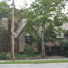
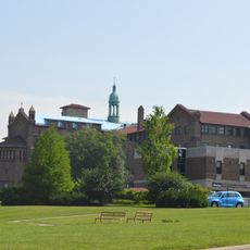
Warrensville Heights, city in Cuyahoga County, Ohio, United States
Location: Cuyahoga County
Inception: 1927
Elevation above the sea: 316 m
Shares border with: Highland Hills, Cleveland, Maple Heights, Beachwood, Bedford Heights, North Randall, Orange, Shaker Heights
Website: http://cityofwarrensville.com
GPS coordinates: 41.43860,-81.52330
Latest update: March 13, 2025 12:49
Notre Dame College
7.7 km
Park Synagogue
9.2 km
Alcazar Hotel
9.2 km
Tower East
3 km
David Berger National Memorial
4.8 km
Temple Tifereth-Israel
4.9 km
St. Andrew Svorad Abbey
8.7 km
First Baptist Church of Greater Cleveland
5.7 km
Stadium Square Historic District
8.1 km
Shaker Heights Public Library
4.8 km
Shaker Village Historic District
4.8 km
Ambler Heights Historic District
9.2 km
Euclid Golf Allotment
8.3 km
St. Paul's Episcopal Church
7.8 km
Bedford Baptist Church
5.5 km
Fairmount Boulevard District
7.8 km
Fairhill Road Village
8.6 km
St. Joseph Convent and Academy Complex
6.5 km
Weizer Building
8 km
Halle Brothers Shaker Square department store
7.6 km
Woodland-Larchmere Commercial Historic District
8 km
Chester and Frances Bolton House
7.9 km
Moreland Theater
7.9 km
Fairmount Theatre
5.5 km
John Carroll University North Quad Historic District
5.7 km
Madstone Centrum
9.1 km
Cermak Building
8.6 km
Miles Park Historic District
4.1 kmReviews
Visited this place? Tap the stars to rate it and share your experience / photos with the community! Try now! You can cancel it anytime.
Discover hidden gems everywhere you go!
From secret cafés to breathtaking viewpoints, skip the crowded tourist spots and find places that match your style. Our app makes it easy with voice search, smart filtering, route optimization, and insider tips from travelers worldwide. Download now for the complete mobile experience.
A unique approach to discovering new places❞
— Le Figaro
All the places worth exploring❞
— France Info
A tailor-made excursion in just a few clicks❞
— 20 Minutes