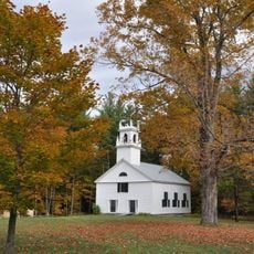
Hillsborough, town in Hillsborough County, New Hampshire
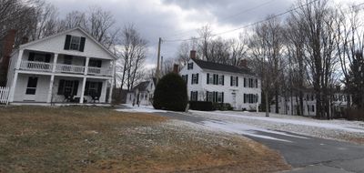
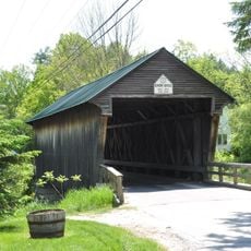
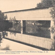
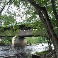
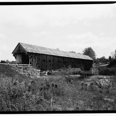
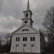
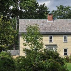
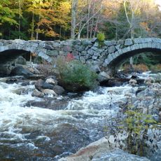
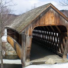
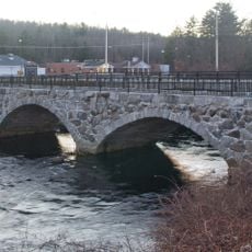
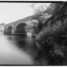
Hillsborough is a small town in New Hampshire made up of four neighborhoods: Bridge Village, Center, Upper Village, and Lower Village. The landscape features gentle hills and is crossed by several historic stone arch bridges, of which five remain standing today.
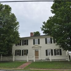
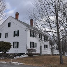
The settlement was founded in 1735 and 1736 when Colonel John Hill received land to establish a community in what is now Hillsborough Center. The town was officially chartered in 1772, and later became the birthplace of Franklin Pierce in 1804, who grew up here and became the only U.S. President from New Hampshire.
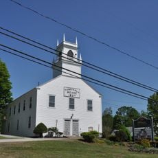
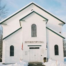
The town's name comes from Colonel John Hill, who established the settlement in the 1730s. Today, people maintain strong community bonds through traditional events like summer fairs and holiday gatherings where neighbors meet, share meals, and celebrate together.
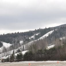
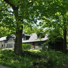
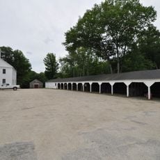
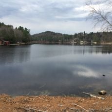
The different villages within the town are within walking distance or a short drive, making it easy to explore the whole area. Visitors can swim and fish in lakes and rivers, hike through forests, watch hot-air balloons, or browse antique shops throughout the town.
The town holds more stone arch bridges than any other town in New Hampshire, with five still standing today. One of these historic structures is being transformed into part of a park, showing how the town values the engineering skills of earlier generations.
The community of curious travelers
AroundUs brings together thousands of curated places, local tips, and hidden gems, enriched daily by 60,000 contributors worldwide.