
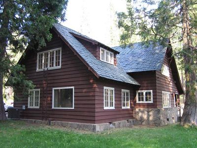
Mineral, census-designated place in Tehama County, California, United States
Location: Tehama County
Elevation above the sea: 1,499 m
GPS coordinates: 40.35556,-121.56722
Latest update: March 3, 2025 01:44
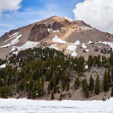
Lassen Peak
15.7 km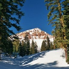
Mount Tehama
10 km
Geothermal areas in Lassen Volcanic National Park
12.7 km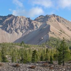
Chaos Crags
19.2 km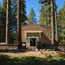
Loomis Museum
20.1 km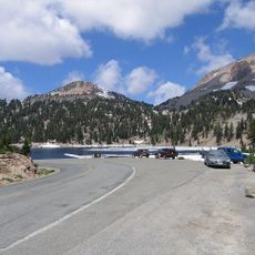
Lassen Volcanic National Park Highway Historic District
16.8 km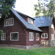
Park Headquarters, Lassen Volcanic National Park
3.7 km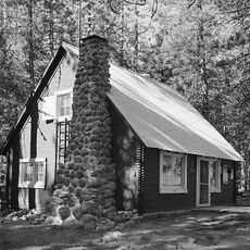
Warner Valley Ranger Station
18.3 km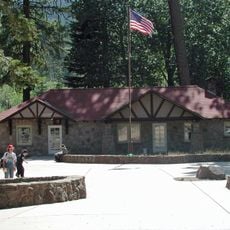
Manzanita Lake Naturalist's Services Historic District
20.1 km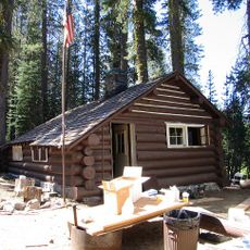
Summit Lake Ranger Station
19.8 km
Hot Rock
21 km
Discovery Center
20.2 km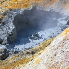
Sulphur Works
10.7 km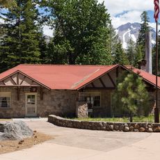
Loomis Ranger Station
20.1 km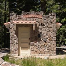
Seismograph Building
20.1 km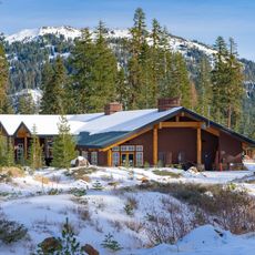
Kohm Yah-mah-nee Visitor Center
9.6 km
Bumpass Hell
12.6 km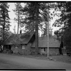
Manzanita Ranger Residence
20.3 km
Lassen Peak Trailhead
14.2 km
Chaos Jumbles
20.6 km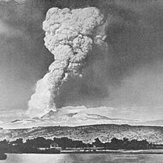
Lassen Volcanic Center
16 km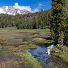
Kings Creek
20.2 km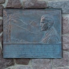
Mather Plaque in Lassen Volcanic National Park
20.1 km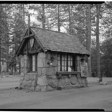
Manzanita Kiosk
20.3 km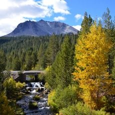
Hat Creek Culvert
19.2 km
Summit Lake North Campground
19.7 km
Manzanita Lake Campground
19.3 km
Northwest Entrance Checking Station and Ranger Residence
20.3 kmReviews
Visited this place? Tap the stars to rate it and share your experience / photos with the community! Try now! You can cancel it anytime.
Discover hidden gems everywhere you go!
From secret cafés to breathtaking viewpoints, skip the crowded tourist spots and find places that match your style. Our app makes it easy with voice search, smart filtering, route optimization, and insider tips from travelers worldwide. Download now for the complete mobile experience.

A unique approach to discovering new places❞
— Le Figaro
All the places worth exploring❞
— France Info
A tailor-made excursion in just a few clicks❞
— 20 Minutes