Chaos Crags, Volcanic mountain in Lassen Volcanic National Park, California, US
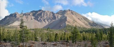
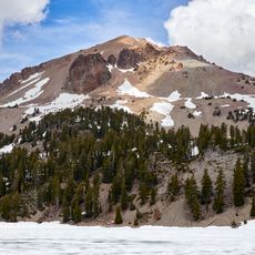
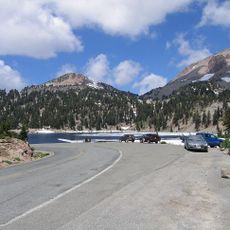
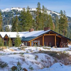
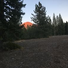
Chaos Crags is a volcanic formation in the northern part of Lassen Volcanic National Park, California, made up of six light-colored lava domes grouped together to form a peak of about 8,200 feet (2,500 meters). The steep rock faces rise sharply above Manzanita Lake, which sits at the base of the formation.
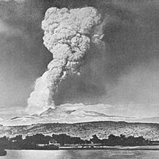
The six lava domes formed around 1,100 years ago during a period of intense volcanic activity in the region. One of them collapsed about 70 years after it was created in a large explosive event that reshaped the surrounding landscape.
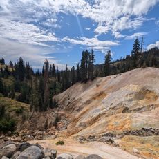
Scientists from the United States Geological Survey keep a close watch on the area for possible rock slides and signs of volcanic activity. This ongoing monitoring is a reminder that the ground here is still geologically active, not just a relic of the past.
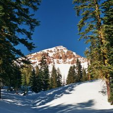
Two trails leave from Manzanita Lake and lead toward the formation, passing through forest before the terrain opens up and becomes steep and rocky. Sturdy footwear is important here, and taking your time on the loose rock sections makes the hike safer.
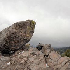
At the base of the formation lies the Chaos Jumbles, a vast field of boulders left behind by a rock avalanche about 300 years ago that swept down the slope at very high speed. The boulders are still there, largely undisturbed, giving visitors a direct view of what such an event leaves behind.
The community of curious travelers
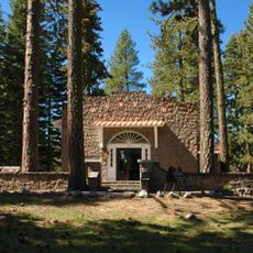
AroundUs brings together thousands of curated places, local tips, and hidden gems, enriched daily by 60,000 contributors worldwide.