Enable Location

We need your location to show you interesting places around you

Discover nearby places

Find interesting locations and hidden gems around you

Precise directions

Get accurate directions and distances to places

Your location is never shared with other users. It's only used when you tap the location button.

Lost Creek Group Campground

Log in to your account

Start exploring — it's free

Trusted by 63,018 travelers worldwide

Continue with Google
Continue with Apple
or

We will send you a code to connect

By continuing, you accept our Terms and Conditions and our Privacy Policy

Check your inbox

We've sent a pincode in your inbox. Please enter the code below.

Lost Creek Group Campground
Discussion Reviews 1 Photos
30+ Popularity

Lost Creek Group Campground, Group campground in Shasta County, United States.

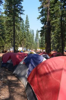
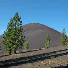
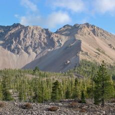
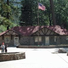
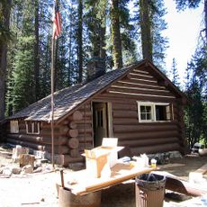
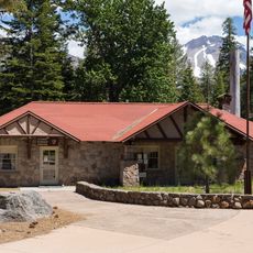
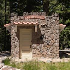
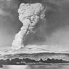
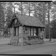
Lost Creek Group Campground is a group camping facility in Lassen Volcanic National Park with multiple sites equipped with picnic tables, fire rings, and vault toilets. The facilities spread across a wooded area at moderate elevation within the park's volcanic landscape.

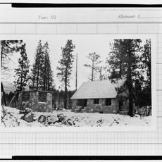
The campground was established in the 1960s to meet growing demand for organized group camping in Northern California. Its creation reflected broader efforts to expand recreational facilities in the park during that era.

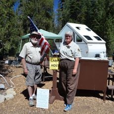
The campground serves as a gathering point for environmental education programs, where rangers conduct presentations about local wildlife and geological formations.

Reservations are required from May through September, with groups limited to 50 people maximum. Visitors should be prepared for fire safety rules and check access roads ahead of time.

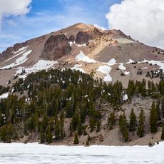
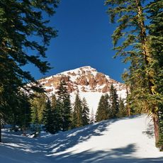
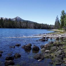
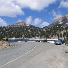
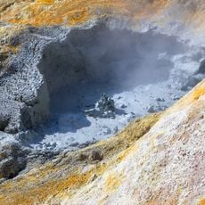
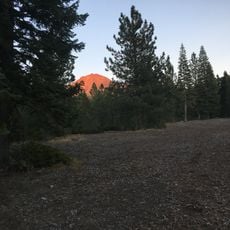
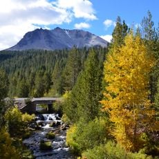
The camp sits at an elevation with views of volcanic formations and direct access to fishing areas. Visitors can encounter native trout species that inhabit the surrounding waters.

The community of curious travelers

AroundUs brings together thousands of curated places, local tips, and hidden gems, enriched daily by 60,000 contributors worldwide.

Start exploring
Location
GPS coordinates
40.56191,-121.51761
Latest update
December 15, 2025 13:24
Around this place
Lassen Peak
United States of America

Lassen Peak

8.3 km
Mount Tehama
United States of America

Mount Tehama

13.4 km
Cinder Cone and the Fantastic Lava Beds
United States of America

Cinder Cone and the Fantastic Lava Beds

16.8 km
Geothermal areas in Lassen Volcanic National Park
United States of America

Geothermal areas in Lassen Volcanic National Park

11.6 km
Chaos Crags
United States of America

Chaos Crags

4.2 km
Thousand Lakes Wilderness
United States of America

Thousand Lakes Wilderness

16.4 km
Nobles Emigrant Trail
United States of America

Nobles Emigrant Trail

8 km
Loomis Museum
United States of America

Loomis Museum

4.8 km
Lassen Volcanic National Park Highway Historic District
United States of America

Lassen Volcanic National Park Highway Historic District

6.9 km
Manzanita Lake Naturalist's Services Historic District
United States of America

Manzanita Lake Naturalist's Services Historic District

4.7 km
Summit Lake Ranger Station
United States of America

Summit Lake Ranger Station

10.4 km
Hot Rock
United States of America

Hot Rock

3.8 km
Discovery Center
United States of America

Discovery Center

4.7 km
Sulphur Works
United States of America

Sulphur Works

12.7 km
Loomis Ranger Station
United States of America

Loomis Ranger Station

4.7 km
Seismograph Building
United States of America

Seismograph Building

4.8 km
Kohm Yah-mah-nee Visitor Center
United States of America

Kohm Yah-mah-nee Visitor Center

13.9 km
Bumpass Hell
United States of America

Bumpass Hell

11.7 km
Manzanita Ranger Residence
United States of America

Manzanita Ranger Residence

5.3 km
Chaos Jumbles
United States of America

Chaos Jumbles

3.2 km
Lassen Peak Trailhead
United States of America

Lassen Peak Trailhead

9.8 km
Lassen Volcanic Center
United States of America

Lassen Volcanic Center

7.8 km
Mather Plaque in Lassen Volcanic National Park
United States of America

Mather Plaque in Lassen Volcanic National Park

4.8 km
Manzanita Kiosk
United States of America

Manzanita Kiosk

5.2 km
Manzanita Lake Campground
United States of America

Manzanita Lake Campground

5.3 km
Summit Lake North Campground
United States of America

Summit Lake North Campground

10.9 km
Hat Creek Culvert
United States of America

Hat Creek Culvert

7.3 km
Northwest Entrance Checking Station and Ranger Residence
United States of America

Northwest Entrance Checking Station and Ranger Residence

5.3 km
Show the full map
Reviews
Share your experience

No review yet

Discussions
Start a discussion...

No discussion yet

« Lost Creek Group Campground - Group campground in Shasta County, United States » is provided by Around Us (aroundus.com). Images and texts are derived from Wikimedia project under a Creative Commons license. You are allowed to copy, distribute, and modify copies of this page, under the conditions set by the license, as long as this note is clearly visible.

Discover hidden gems everywhere you go!

From secret cafés to breathtaking viewpoints, skip the crowded tourist spots and find places that match your style. Our app makes it easy with voice search, smart filtering, route optimization, and insider tips from travelers worldwide. Download now for the complete mobile experience.

Around Us App Screenshot

A unique approach to discovering new places

Le Figaro

All the places worth exploring

France Info

A tailor-made excursion in just a few clicks

20 Minutes

Around Us
Travel Guide & Maps
Download

Send to your phone

QR Code
1

Open the camera app on your mobile.

2

Point at the QR code with your camera. A notification will appear.

3

Tap the notification to open the link.