Shasta County

Log in to your account

AroundUs is a community-driven map of interesting places, built by curious explorers like you. It grows with every review, story, and photo you share.
Connect to save your favorite spots, contribute locations, and create personalized routes.
By continuing, you accept our Terms and Conditions and our Privacy Policy
Add to collection
Map
Suggest a change
Share

Shasta County, County in northern California, United States.

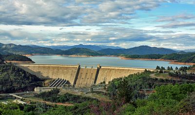
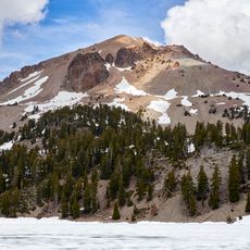
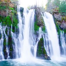
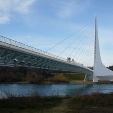
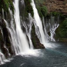
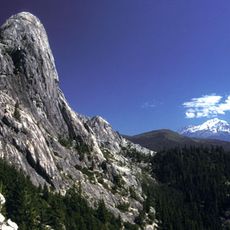
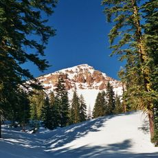
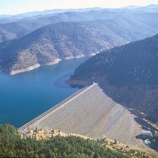
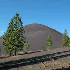
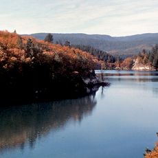
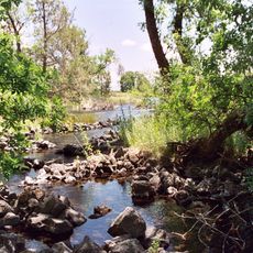
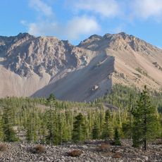
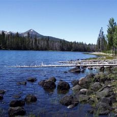
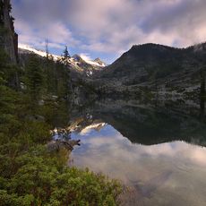
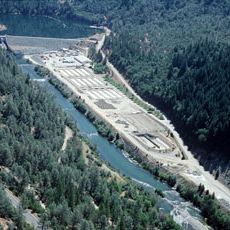
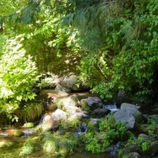
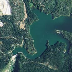
Shasta County is a county in northern California characterized by mountains, lakes, and forests with the Sacramento River flowing through its central region. The area features diverse landscapes with varying elevations and numerous waterways.

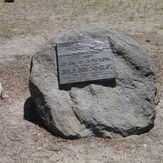
The county was established in 1850 during California's statehood and received its name from Mount Shasta. The region was long home to the Wintu Native Americans.

The county hosts regular events like the Shasta District Fair and Kool April Nites car show where residents gather for community celebrations.

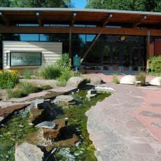
Redding, the county seat, is accessible via major highways and offers various accommodations from hotels to campgrounds near outdoor recreation areas. Visitors can easily explore natural attractions from this central location.

A major wildfire in the region destroyed tens of thousands of acres in 1992 and forced major emergency evacuations along with significant economic consequences. This event left long-term impacts on land recovery efforts.

Location: California

Inception: 1850

Capital city: Redding

Shares border with: Trinity County, Tehama County, Siskiyou County, Modoc County, Lassen County, Plumas County

Website: http://co.shasta.ca.us

GPS coordinates: 40.76000,-122.04000

Latest update: December 15, 2025 13:20

Photos
Around this place
Lassen Peak
United States of America

Lassen Peak

54.4 km
Burney Falls
United States of America

Burney Falls

43 km
Shasta Lake
United States of America

Shasta Lake

28 km
Allen Telescope Array
United States of America

Allen Telescope Array

48.2 km
Sundial Bridge at Turtle Bay
United States of America

Sundial Bridge at Turtle Bay

34 km
McArthur-Burney Falls Memorial State Park
United States of America

McArthur-Burney Falls Memorial State Park

43.6 km
Castle Crags
United States of America

Castle Crags

52.7 km
Mount Tehama
United States of America

Mount Tehama

53.6 km
Trinity Lake
United States of America

Trinity Lake

61.5 km
Cinder Cone and the Fantastic Lava Beds
United States of America

Cinder Cone and the Fantastic Lava Beds

65.2 km
Whiskeytown Lake
United States of America

Whiskeytown Lake

45.9 km
Lake Shasta Caverns
United States of America

Lake Shasta Caverns

22.8 km
Geothermal areas in Lassen Volcanic National Park
United States of America

Geothermal areas in Lassen Volcanic National Park

56.5 km
Lake Britton
United States of America

Lake Britton

42.3 km
Ahjumawi Lava Springs State Park
United States of America

Ahjumawi Lava Springs State Park

67 km
Saint Herman of Alaska Brotherhood
United States of America

Saint Herman of Alaska Brotherhood

86.1 km
Hat Creek Radio Observatory
United States of America

Hat Creek Radio Observatory

48.2 km
Pit River Bridge
United States of America

Pit River Bridge

23.5 km
Chaos Crags
United States of America

Chaos Crags

51.1 km
Turtle Bay Exploration Park
United States of America

Turtle Bay Exploration Park

34.1 km
Thousand Lakes Wilderness
United States of America

Thousand Lakes Wilderness

39 km
Keswick Dam
United States of America

Keswick Dam

38 km
Thompson Peak
United States of America

Thompson Peak

89 km
Nobles Emigrant Trail
United States of America

Nobles Emigrant Trail

57.1 km
Lewiston Lake
United States of America

Lewiston Lake

63.6 km
Dunsmuir Botanical Gardens
United States of America

Dunsmuir Botanical Gardens

43.5 km
Loomis Museum
United States of America

Loomis Museum

47.4 km
Pit 3 Dam
United States of America

Pit 3 Dam

42.3 km
Show the full map
Reviews

Visited this place? Tap the stars to rate it and share your experience / photos with the community! Try now! You can cancel it anytime.

Administrative divisions
« Shasta County - County in northern California, United States » is provided by Around Us (aroundus.com). Images and texts are derived from Wikimedia project under a Creative Commons license. You are allowed to copy, distribute, and modify copies of this page, under the conditions set by the license, as long as this note is clearly visible.

Discover hidden gems everywhere you go!

From secret cafés to breathtaking viewpoints, skip the crowded tourist spots and find places that match your style. Our app makes it easy with voice search, smart filtering, route optimization, and insider tips from travelers worldwide. Download now for the complete mobile experience.

Around Us App Screenshot

A unique approach to discovering new places

Le Figaro

All the places worth exploring

France Info

A tailor-made excursion in just a few clicks

20 Minutes