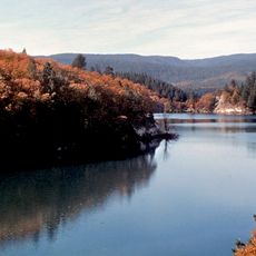
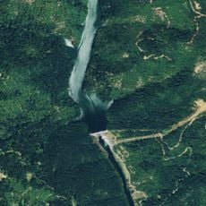
Pit 3 Dam, Gravity dam in Shasta County, United States.
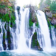
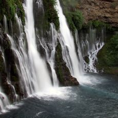
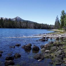
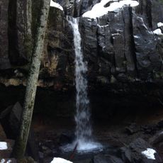
Pit 3 Dam is a concrete structure that rises 130 feet (40 meters) above the Pit River and spans approximately 494 feet (150 meters) across, with Lake Britton formed behind it managed by three steel gates and inflatable rubber gates. The reservoir behind the dam holds substantial amounts of water for the region's power system.
The dam was constructed in 1925 by Pacific Gas and Electric Company to generate hydroelectric power and manage water resources in northern California. It became one of several structures built to support the region's expanding power needs during that era.
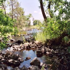
The Pacific Crest Trail crosses the Pit River at this location, serving as a key stopover for backpackers traveling through northern California. This spot connects the broader hiking network that links remote natural areas and state parks.
The site is accessible by local roads and offers viewpoints to observe the structure and water flow, especially when water is released from the gates. Visitors should be aware that water levels can change unexpectedly and should stay on designated paths for safety.
The lake level behind the dam fluctuates weekly, with larger water releases happening on weekdays for power generation. Weekend refilling helps maintain the balance between electricity production and water storage needs.
The community of curious travelers
AroundUs brings together thousands of curated places, local tips, and hidden gems, enriched daily by 60,000 contributors worldwide.