Geothermal areas in Lassen Volcanic National Park, Geothermal areas in Lassen Volcanic National Park, California
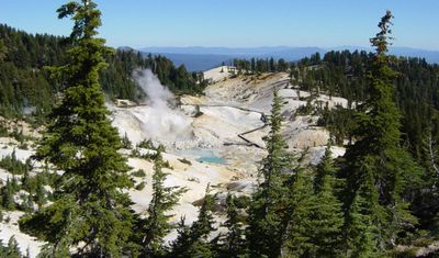
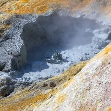
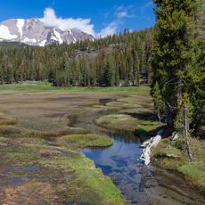
The geothermal areas of Lassen Volcanic National Park feature hot springs, fumaroles, and mud pots scattered across different zones including Bumpass Hell and Sulphur Works. These thermal features form through heat and steam generated beneath the earth's surface.
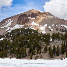
These geothermal zones formed about 600,000 years ago through volcanic activity and magma rising beneath the surface. The emergence of Lassen Peak as a volcanic dome around 27,000 years ago significantly shaped the landscape.
Native American tribes viewed these hot springs as sacred places and used the mineral-rich waters in healing rituals and ceremonies. The thermal zones held spiritual significance in their traditional practices and beliefs.
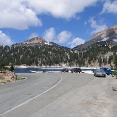
Access to the geothermal areas is mainly through marked hiking trails, with Bumpass Hell reachable via a loop path. The best visiting season runs from June through October when trails are clear of snow.
Big Boiler is the park's largest fumarole and ranks among the world's hottest with extreme temperatures. This powerful steam vent sets itself apart from other thermal features through its massive size and intense heat.
The community of curious travelers
AroundUs brings together thousands of curated places, local tips, and hidden gems, enriched daily by 60,000 contributors worldwide.