Pit River Bridge, Railway bridge over Shasta Lake in Shasta County, United States.
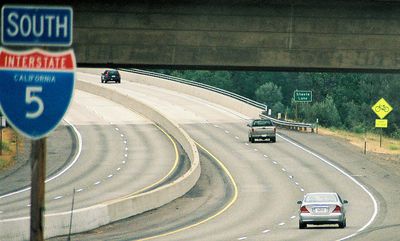
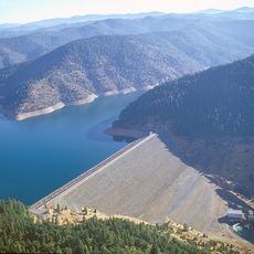
Pit River Bridge is a double-deck bridge over Shasta Lake in Shasta County, with Interstate 5 on the upper level and Union Pacific Railroad tracks on the lower level. The structure spans about 1,100 meters (3,588 feet) on its upper deck and rises about 150 meters (500 feet) above the original river bed.
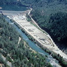
The bridge was built in 1942 during the Shasta Dam project to replace an earlier crossing over the Lower Pit River. This construction became necessary to accommodate the new reservoir formation and redirect traffic to safer routes.
The bridge carries the Veterans of Foreign Wars Memorial Bridge designation, honoring California military personnel. This naming connects the location to the history of armed conflicts and makes it a quiet monument to those who served.
The bridge is continuously accessible for vehicles on Interstate 5, but pedestrians are not permitted to enter it. The view from your vehicle offers a good overview of the lake landscape, especially if you drive slowly across the span and observe the surroundings.
The clearance between the two levels has become unusually tight as the lake water level dropped far below its normal height. For decades, this structure was the highest double-deck bridge of its kind in the nation before other similar works were built.
The community of curious travelers
AroundUs brings together thousands of curated places, local tips, and hidden gems, enriched daily by 60,000 contributors worldwide.