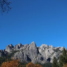
Castle Crags Wilderness, Nature reserve in Shasta County, United States.
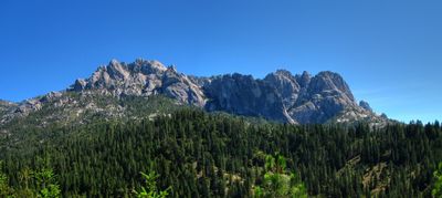
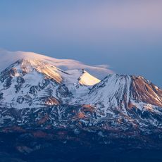
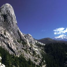
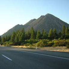
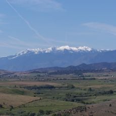
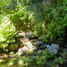
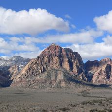
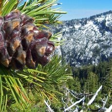
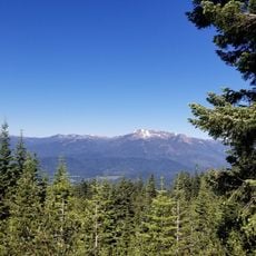
Castle Crags Wilderness is a nature reserve within the Shasta-Trinity National Forest featuring granite spires that rise between 2,500 and 7,300 feet in elevation. The terrain consists of sharp peaks, dense conifer forests, and exposed rock formations that create a rugged and dramatic landscape.
The area was designated as a protected wilderness by Congress through the California Wilderness Act in 1984. The site was also the location of a conflict in 1855 that is now recognized as a California Historical Landmark.
The Wintu people named this place the Abode of the Devil, reflecting the spiritual weight they attached to its jagged landscape. Visitors walking through the dramatic terrain can sense the reverence and caution that shaped this indigenous perspective.
The area is accessible through multiple trailheads that connect to the Pacific Crest Trail and pass through conifer forests and rocky terrain. Most routes are challenging and require good physical fitness and preparation for changing weather conditions.
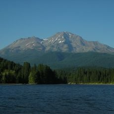
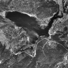
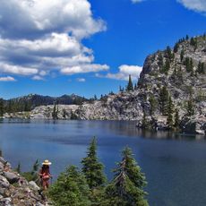
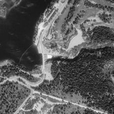
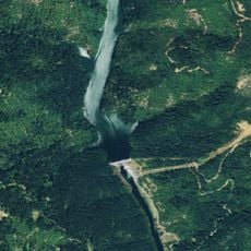
Within this wilderness lies Castle Lake, a high-elevation lake that holds significant historical weight for the region. The lake marks the location of a 19th-century conflict, though little visible evidence of those events remains at this quiet natural site.
The community of curious travelers
AroundUs brings together thousands of curated places, local tips, and hidden gems, enriched daily by 60,000 contributors worldwide.