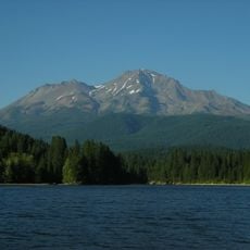
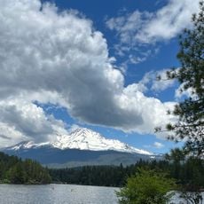
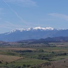
Black Butte, Dacite lava dome cluster in Siskiyou County, California, United States
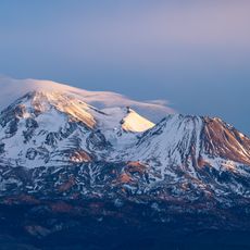
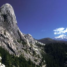
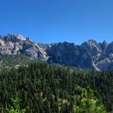
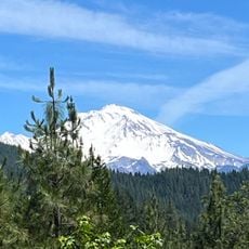
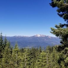
Black Butte is a cluster of overlapping dacite lava domes forming a butte, a satellite cone of Mount Shasta in Siskiyou County, California. The domes rise to 1,903 metres and sit beside Interstate 5, where the freeway crosses the 1,192-metre Black Butte Summit at their western base. They were extruded at the foot of Shastina after its major eruptions about 9,000–10,000 years ago.
Black Butte's overlapping dacite lava domes were extruded at the foot of Shastina, the satellite cone of Mount Shasta, after that cone's major eruptions about 9,000–10,000 years ago. The butte has carried several names, including Wintoon Butte, Cone Mountain, Sugar Loaf and Muir's Peak. From 1887 to 1911 a Southern Pacific station called Black Butte Summit stood near Summit Lake, about a mile south of the domes.
Black Butte has carried several names: Wintoon Butte, Cone Mountain, Sugar Loaf and Muir's Peak. Since 1926 a Southern Pacific station stood at its western foot, where railroad workers and their families lived until the early 1970s; a water tank from the station remains. The site now holds the Black Butte Center for Railroad Culture.
A 2.5-mile (4.0 km) trail reaches the summit from a trailhead on gravel roads off the Everitt Memorial Highway. The I-5 freeway passes the western base at Black Butte Summit, a 3,912 ft (1,192 m) pass, so access is by road only.
Black Butte has carried several earlier names, including Wintoon Butte, Cone Mountain, Sugar Loaf and Muir's Peak. The concrete foundation of a Forest Service lookout, moved by helicopter in 1975, still sits on the summit.
The community of curious travelers
AroundUs brings together thousands of curated places, local tips, and hidden gems, enriched daily by 94,650 contributors worldwide.