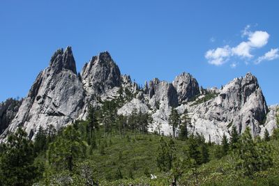
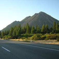
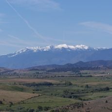
Castle Crags State Park, Granite formations and hiking trails in Shasta County, California.
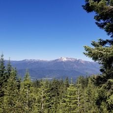
Castle Crags State Park is a California state park featuring sharp granite peaks that rise 6,500 feet above the surrounding forest, creating a striking mountain backdrop. The park spans 28,000 acres and includes hiking trails, river access, and dense coniferous forests throughout its terrain.
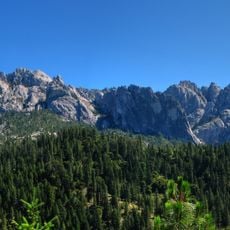
The granite formations in this park developed over 170 million years ago and were later shaped by erosion into the striking peaks seen today. Indigenous peoples inhabited and used this region for thousands of years before the arrival of European explorers and settlers.
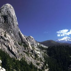
Native American peoples held these granite formations as sacred, gathering here for ceremonies and spiritual practices that shaped their connection to the land. The rock formations remain central to how visitors experience and understand the landscape today.
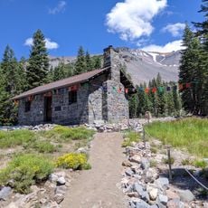
The park provides 76 developed campsites with drinking water and shower facilities, along with picnic areas near the Sacramento River for day visitors. Summer through early fall offers the best visiting conditions, with accessible trails and stable weather for outdoor activities.
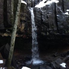
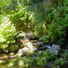
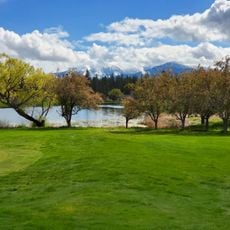
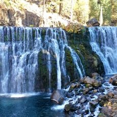
The Sacramento River runs through the park and creates verdant riparian corridors amid the granite landscape, surprising many visitors who expect only rocky heights. This blend of flowing water and jagged peaks creates a diverse setting that feels different from typical mountain terrain.
The community of curious travelers
AroundUs brings together thousands of curated places, local tips, and hidden gems, enriched daily by 60,000 contributors worldwide.