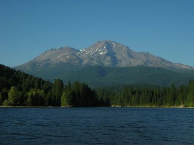
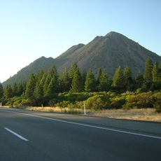
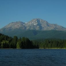
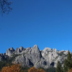
Mount Shasta Wilderness, Protected wilderness area in Northern California, United States.
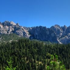
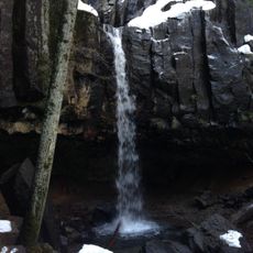
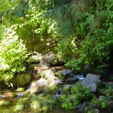
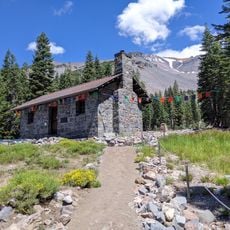
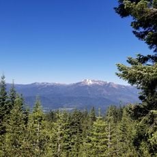
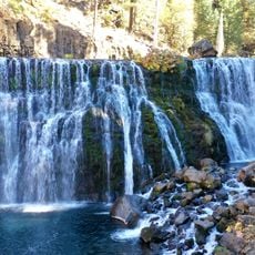
Mount Shasta Wilderness is a protected natural area in Northern California spanning more than 38,000 acres of varied terrain. The region features glaciers, waterfalls, hot springs, and dense coniferous forests distributed across different elevations.
This area was designated as protected land in 1984 through the California Wilderness Act within Shasta-Trinity National Forest. The designation aimed to preserve the region's natural character and resources for future generations.
The mountain holds sacred meaning for several Native American tribes who maintain spiritual connections to this land. Visitors walking here can sense how deeply this place matters to the people whose traditions are tied to it.
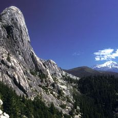
The area offers ten different entry points for visitors, with some routes requiring specialized equipment. Visitors should prepare for variable weather conditions and expect different difficulty levels depending on the season.
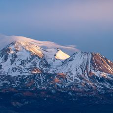
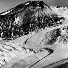
The Wintun Glacier sits at nearly 9,100 feet elevation and holds the distinction of being California's lowest-elevation glacier. Few visitors realize they are viewing one of the state's rarest glacial features while exploring the higher slopes.
The community of curious travelers
AroundUs brings together thousands of curated places, local tips, and hidden gems, enriched daily by 60,000 contributors worldwide.