Shastina, Volcanic satellite cone in Siskiyou County, California, US
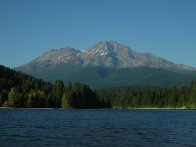
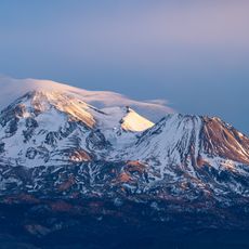
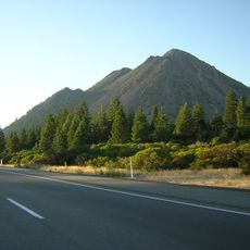
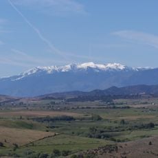
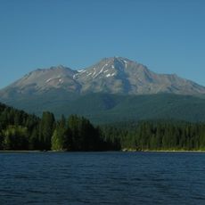
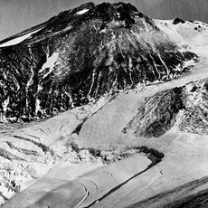
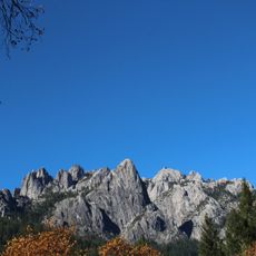
Shastina is a satellite cone of Mount Shasta located in the Cascade Range of northern California. This volcanic peak rises about 12,335 feet and forms part of one of the region's most significant stratovolcano complexes.
This cone formed roughly 7,650 years ago during volcanic activity that affected multiple peaks in the area simultaneously. The eruption shaped the geological landscape that visitors see today.
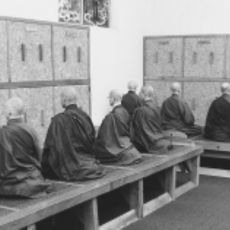
Native American tribes of the Klamath region regarded the volcanic formations of Mount Shasta and Shastina as manifestations of powerful natural forces.
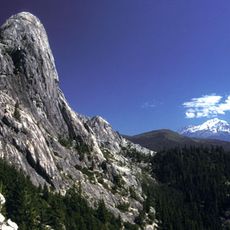
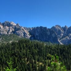
Access to the summit is usually by way of the Cascade Gulch route from Hidden Valley, which demands full mountaineering equipment and experience. Conditions on the slopes change with the season and altitude, so planning ahead is important.
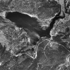
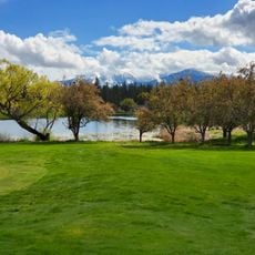
High-altitude crater lakes, including Clarence King Lake, sit within the summit crater and remain visible even during the climbing season. These water bodies form an unexpected feature inside a volcanic peak.
The community of curious travelers
AroundUs brings together thousands of curated places, local tips, and hidden gems, enriched daily by 60,000 contributors worldwide.