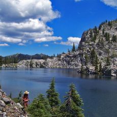
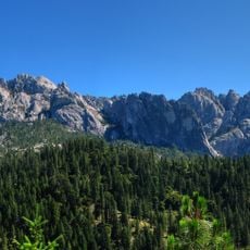
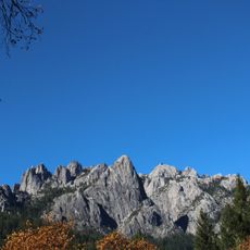
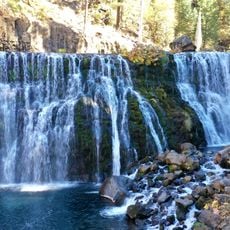
Castle Crags, Granite rock formation in Shasta County, US
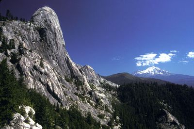
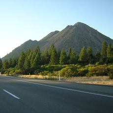
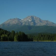
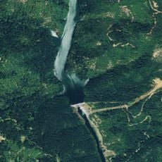
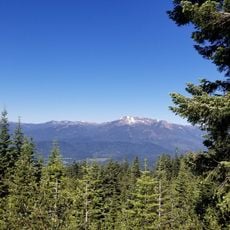
Castle Crags is a granite rock formation in Shasta County that rises from the Sacramento River to heights of about 6,500 feet, featuring sharp spires throughout. The dramatic peaks shape the landscape along Interstate 5 and offer expansive views in all directions.
The area experienced conflict in 1855 between prospectors and indigenous people during the California Gold Rush. This event marked a turning point in the region's history and left deep marks on relations between settlers and the original inhabitants.
The granite formations hold sacred meaning for several Native American peoples of the region, including the Okwanuchu Shasta, Wintu, Achumawi, and Modoc. Visitors can feel the deep connection between the land and the indigenous communities that have inhabited this area for countless generations.
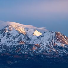
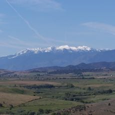
The state park provides 76 developed campsites with water and shower facilities, along with numerous hiking trails offering panoramic views of Mount Shasta. Visitors should wear sturdy shoes and bring plenty of water, as the hikes can be demanding depending on the route chosen.
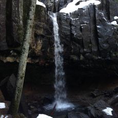
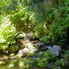
A naturally carbonated mineral spring was enclosed by the Civilian Conservation Corps in the 1930s and flows with distinctive mineral properties. This hidden spring often goes unnoticed by many visitors, offering a rare chance to taste natural mineral water.
The community of curious travelers
AroundUs brings together thousands of curated places, local tips, and hidden gems, enriched daily by 60,000 contributors worldwide.