Enable Location

We need your location to show you interesting places around you

Discover nearby places

Find interesting locations and hidden gems around you

Precise directions

Get accurate directions and distances to places

Your location is never shared with other users. It's only used when you tap the location button.

Shasta Lake

Log in to your account

Start exploring — it's free

Trusted by 61,965 travelers worldwide

Continue with Google
Continue with Apple
or

We will send you a code to connect

By continuing, you accept our Terms and Conditions and our Privacy Policy

Check your inbox

We've sent a pincode in your inbox. Please enter the code below.

Shasta Lake

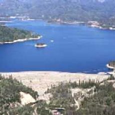
Shasta Lake, Reservoir in Shasta County, California, US.

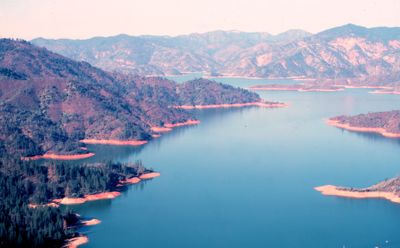
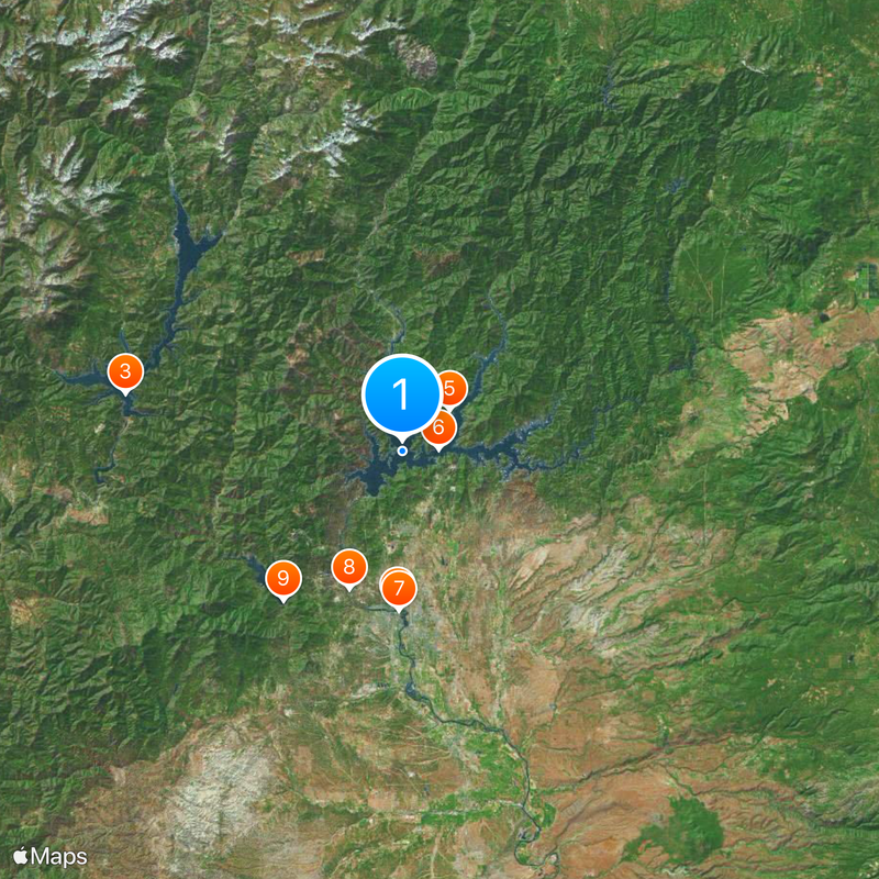
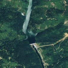
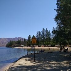
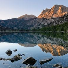
Shasta Lake is a reservoir in Shasta County in northern California, located about 35 miles north of Redding and fed by the Sacramento River, Pit River, and McCloud River. The four main arms of the lake branch between forested hills, while the shoreline forms numerous coves and narrow waterways.

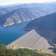
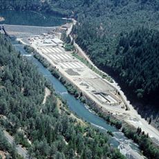
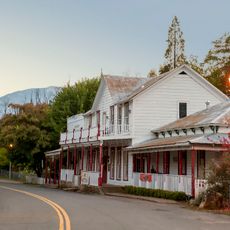
Construction of Shasta Dam began in 1935 during the Great Depression and was completed in 1945, flooding the town of Kennett and several Wintu settlements. The project was intended to store water and generate electricity while protecting the Central Valley from floods.

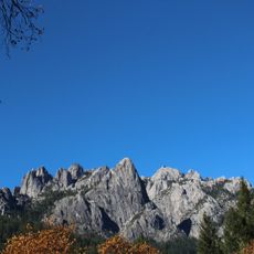
The name comes from Mount Shasta, the snow-covered volcano to the north whose meltwater feeds the reservoir. Boaters and anglers use the many branching coves, while houseboats drift slowly along the forested shores and families stay on the water for several days.

Marinas are spread along the shores and offer boat rentals, fuel stations, and slips, while campgrounds and picnic areas provide access to different coves. Water levels fluctuate by season, with the highest in summer and the lowest in late winter.

The submerged remains of the town of Kennett rest underwater near present-day Bridge Bay, including foundations and old street alignments that divers sometimes explore at low water levels. The maximum depth of the lake reaches 517 feet (158 meters) and makes it California's largest water storage facility.

The community of curious travelers

AroundUs brings together thousands of curated places, local tips, and hidden gems, enriched daily by 60,000 contributors worldwide.

Start exploring
Location
GPS coordinates
40.76020,-122.37200
Latest update
December 14, 2025 18:16
Around this place
Show the full map
« Shasta Lake - Reservoir in Shasta County, California, US » is provided by Around Us (aroundus.com). Images and texts are derived from Wikimedia project under a Creative Commons license. You are allowed to copy, distribute, and modify copies of this page, under the conditions set by the license, as long as this note is clearly visible.

Discover hidden gems everywhere you go!

From secret cafés to breathtaking viewpoints, skip the crowded tourist spots and find places that match your style. Our app makes it easy with voice search, smart filtering, route optimization, and insider tips from travelers worldwide. Download now for the complete mobile experience.

Around Us App Screenshot

A unique approach to discovering new places

Le Figaro

All the places worth exploring

France Info

A tailor-made excursion in just a few clicks

20 Minutes

Around Us
Travel Guide & Maps
Download

Send to your phone

QR Code
1

Open the camera app on your mobile.

2

Point at the QR code with your camera. A notification will appear.

3

Tap the notification to open the link.