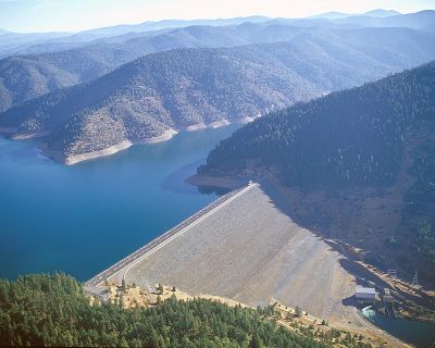
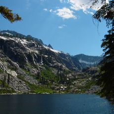
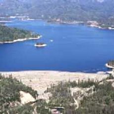
Trinity Lake, Reservoir in Trinity County, California
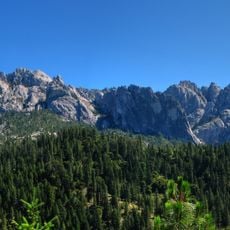
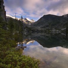
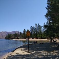
Trinity Lake is a reservoir in California covering a substantial water surface with hundreds of miles of shoreline winding through forested hills. The body of water sits within a protected recreation area and features multiple coves, rocky points, and inlets throughout its basin.
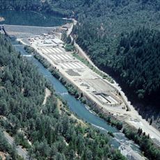
The reservoir was completed in 1961 as part of a major water management project serving agricultural needs across the region. Construction of the dam transformed the landscape and created a new water storage system for surrounding valleys.
The water body carries a name with local roots, though it was briefly renamed after a state politician before returning to its original designation. This reflects how the area's identity shifted and then reconnected with its past.
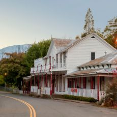
Access points around the lake offer multiple entry locations for visitors, with services spread across different sections of the shoreline. Plan ahead when visiting, as distances between marinas and boat ramps can be significant depending on your destination.
The water supports several fish species that reward anglers with substantial catches, including one type known for its fighting ability and size. Some of the larger specimens in these waters reach weights that make for memorable fishing experiences.
The community of curious travelers
AroundUs brings together thousands of curated places, local tips, and hidden gems, enriched daily by 60,000 contributors worldwide.