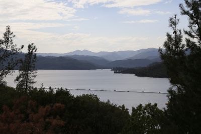
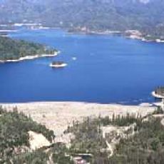
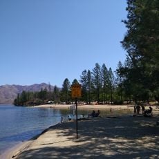
Whiskeytown Lake, Recreational reservoir in Shasta County, California.
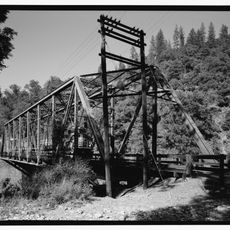
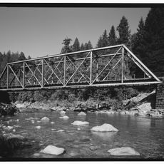
Whiskeytown Lake is a reservoir in Shasta County surrounded by forested mountain slopes where people swim, boat, and fish in clear water. The surrounding recreation area spreads across thousands of acres with hiking trails and multiple overlooks along the shoreline.
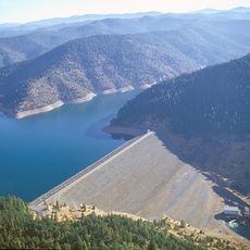
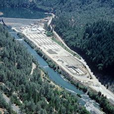
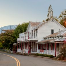
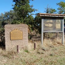
Construction of the dam in 1963 flooded the original mining settlement that had developed during the California Gold Rush decades earlier. This inundation transformed the landscape and submerged an entire community beneath the rising water.
The Artist-in-Residence program invites selected creators to work within the National Recreation Area, drawing inspiration directly from the surrounding landscape. This initiative connects artistic expression with the natural environment and brings creative practice into the outdoor setting.
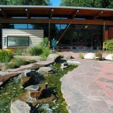
The Visitor Center at the lake provides information and passes needed to access recreational facilities and areas. Arriving early, especially on weekends, helps secure better parking and find quieter spots along the water.
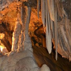
During low water and clear conditions, the outlines of submerged structures from the original settlement become visible beneath the surface. These underwater remains offer a rare window into life that once existed here before the waters rose.
The community of curious travelers
AroundUs brings together thousands of curated places, local tips, and hidden gems, enriched daily by 60,000 contributors worldwide.