Trinity Alps Wilderness, Protected wilderness area in northern California, United States.
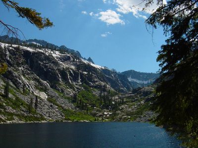
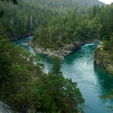
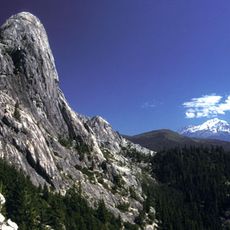
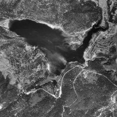
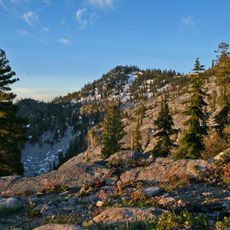
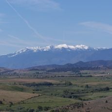
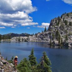
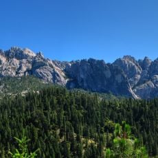
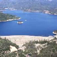
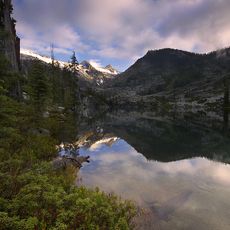
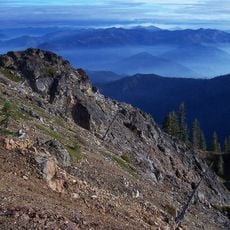
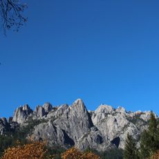
Trinity Alps Wilderness is a vast protected area in northern California featuring granite ridges, alpine lakes, and dense forest ecosystems. The landscape transitions from wooded valleys to rocky peaks, creating diverse environments of meadows, streams, and mountain terrain.
The area gained official federal wilderness status in 1984, designating it as a National Wilderness Preservation zone after decades as a primitive area. This protection prevented further development and secured the landscape's long-term conservation.
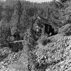
The Karuk, Yurok, and other tribal nations shaped this landscape for thousands of years through hunting, gathering, and seasonal camps. Their presence remains woven into the land itself, visible in trails, gathering sites, and the names that mark their territories.
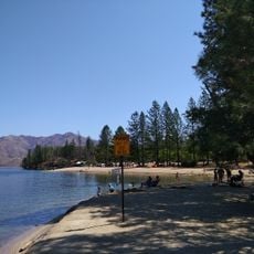
The best visiting season is June through September when high-elevation trails are snow-free and most accessible. Plan for multi-day trips and bring gear for changing weather, as conditions in higher elevations shift rapidly.
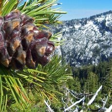
The region harbors rare conifers like Brewer spruce, typically found further south in the Sierra Nevada. This unusual combination emerges from its location between mountains and the Pacific coast, bringing different ecosystems into contact.
The community of curious travelers
AroundUs brings together thousands of curated places, local tips, and hidden gems, enriched daily by 60,000 contributors worldwide.