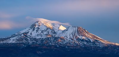
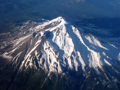
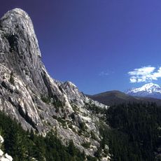
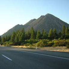
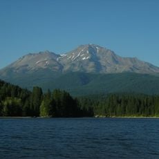
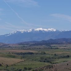
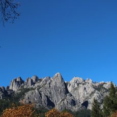
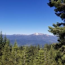
Mount Shasta, Stratovolcano and National Natural Landmark in Siskiyou County, California, United States.
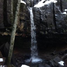
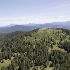
Mount Shasta rises to 4,322 meters above sea level as a prominent stratovolcano with four overlapping volcanic cones, seven named glaciers, and steep slopes covered in snow and ice throughout most of the year.
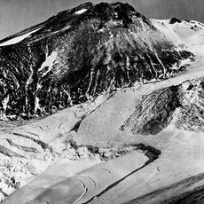
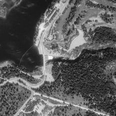
The volcano began forming approximately 593,000 years ago through andesitic eruptions, with its last major eruption occurring around 1786, and experienced significant landslides that deposited debris across Shasta Valley over 300,000 years ago.
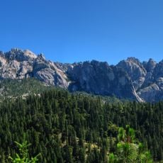
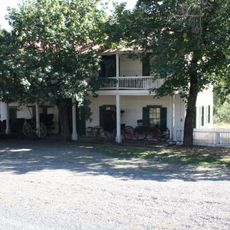
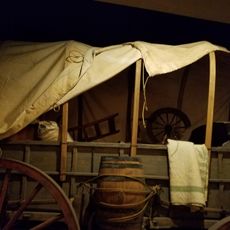
Native American tribes including the Shasta, Karuk, Modoc, and Wintu consider the mountain sacred and have inhabited the surrounding area for over 7,000 years, while modern spiritual movements regard it as a center of mystical energy.
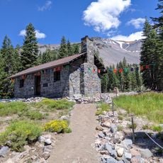
Climbing permits are required but not quota-restricted, with the Avalanche Gulch route being the most popular access path, though visitors must prepare for alpine conditions and potential volcanic hazards monitored by the USGS.
Mount Shasta contains the most voluminous stratovolcano structure in the Cascade Volcanic Arc at 350 cubic kilometers, while continuously releasing volcanic gases from its summit indicating ongoing magmatic activity beneath the surface.
The community of curious travelers
AroundUs brings together thousands of curated places, local tips, and hidden gems, enriched daily by 60,000 contributors worldwide.