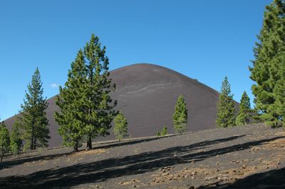
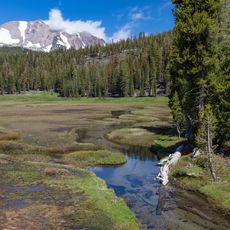
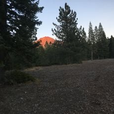
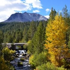
Cinder Cone and the Fantastic Lava Beds, Volcanic formation in Lassen Volcanic National Park, California, US.
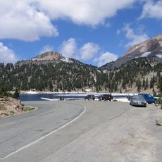
Cinder Cone is a conical volcanic formation surrounded by extensive black lava fields in Lassen Volcanic National Park. The landscape features a mix of older and newer lava flows with scattered volcanic rocks across the terrain.
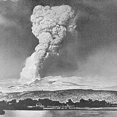
The cone last erupted around 1650, creating the extensive black lava flows visible across the landscape today. This represents one of the most recent volcanic events in the region.
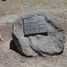
Local Native American peoples viewed this volcanic landscape as sacred ground for ceremonies and spiritual gatherings. The formations held deep meaning in their oral traditions about the creation of the land.
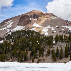
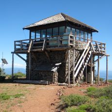
A hiking trail leads to the summit with views across the entire lava field and surrounding areas. The path is accessible year-round but can be challenging during snow or extreme heat.
The site contains two distinctly different lava flows side by side, allowing visitors to observe the contrasting texture and appearance of the black surfaces at different ages. The contrast between the two systems clearly shows how volcanic landscapes change over time.
GPS coordinates: 40.54853,-121.31966
Latest update: December 7, 2025 20:43
Lassen Peak
17.1 km
Geothermal areas in Lassen Volcanic National Park
18.4 km
Chaos Crags
17.3 km
Caribou Wilderness
11.5 km
Nobles Emigrant Trail
8.9 km
Loomis Museum
20.6 km
Mount Harkness Fire Lookout
13.2 km
Lassen Volcanic National Park Highway Historic District
17 km
Warner Valley Ranger Station
13.1 km
Horseshoe Lake Ranger Station
8.4 km
Manzanita Lake Naturalist's Services Historic District
20.6 km
Summit Lake Ranger Station
10.7 km
Hot Rock
14.5 km
Discovery Center
20.6 km
Loomis Ranger Station
20.6 km
Seismograph Building
20.6 km
Bumpass Hell
18.5 km
Manzanita Ranger Residence
21.3 km
Chaos Jumbles
18.8 km
Lassen Peak Trailhead
17.7 km
Lassen Volcanic Center
17.1 km
Kings Creek
13.8 km
Mather Plaque in Lassen Volcanic National Park
20.6 km
Lost Creek Group Campground
16.8 km
Summit Lake North Campground
10.7 km
Manzanita Lake Campground
20.8 km
Hat Creek Culvert
13.1 km
Manzanita Kiosk
21.3 kmVisited this place? Tap the stars to rate it and share your experience / photos with the community! Try now! You can cancel it anytime.
Discover hidden gems everywhere you go!
From secret cafés to breathtaking viewpoints, skip the crowded tourist spots and find places that match your style. Our app makes it easy with voice search, smart filtering, route optimization, and insider tips from travelers worldwide. Download now for the complete mobile experience.
A unique approach to discovering new places❞
— Le Figaro
All the places worth exploring❞
— France Info
A tailor-made excursion in just a few clicks❞
— 20 Minutes