Devastated Area Interpretive Trail, Educational trail in Shasta County, United States.
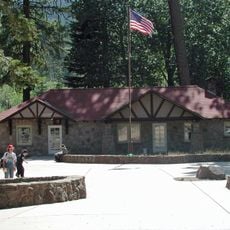
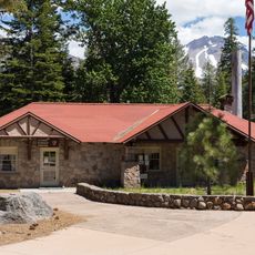
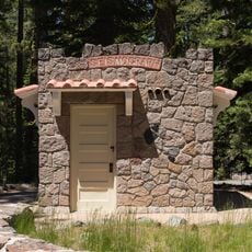
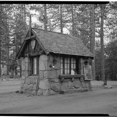
The Devastated Area Interpretive Trail is an educational pathway in Shasta County that loops for about half a mile through volcanic terrain. The route shows information at several points about how volcanoes shaped the rock formations and land you see here.
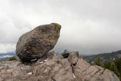
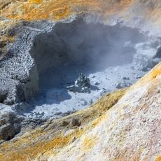
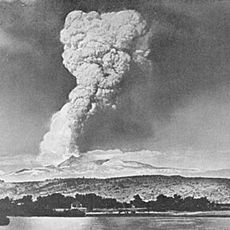
The path documents volcanic eruptions that happened in this region by showing rock formations that remain from those events. These landscapes show how volcanic activity changed the area long ago.
The trail teaches about volcanic processes through explanations at different stations along the way. Visitors can see and understand how these natural forces have shaped the land around them.
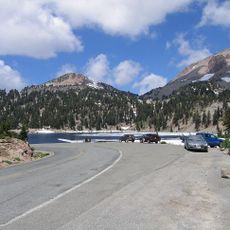
The elevation change is slight and the path is well marked, so anyone can walk it comfortably. There is plenty of parking near the start of the trail.
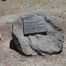
The trail has solar-powered audio devices at several points that play explanations when turned on. When visitors turn on multiple stations at once, they create an unexpected blend of sounds.
Location: Shasta County
Address: Mineral, CA 96063, USA
Website: https://nps.gov/lavo/planyourvisit/hiking_devastated_area.htm
GPS coordinates: 40.51582,-121.46483
Latest update: December 14, 2025 20:22
Lassen Peak
4.6 km
Mount Tehama
11.2 km
Geothermal areas in Lassen Volcanic National Park
7.2 km
Chaos Crags
4.9 km
Nobles Emigrant Trail
4.9 km
Loomis Museum
8.6 km
Lassen Volcanic National Park Highway Historic District
4.2 km
Warner Valley Ranger Station
10.9 km
Manzanita Lake Naturalist's Services Historic District
8.5 km
Summit Lake Ranger Station
3.8 km
Hot Rock
3 km
Discovery Center
8.6 km
Sulphur Works
9.6 km
Loomis Ranger Station
8.5 km
Seismograph Building
8.6 km
Kohm Yah-mah-nee Visitor Center
10.5 km
Bumpass Hell
7.3 km
Manzanita Ranger Residence
9.3 km
Chaos Jumbles
7 km
Lassen Peak Trailhead
5.7 km
Lassen Volcanic Center
4.5 km
Mather Plaque in Lassen Volcanic National Park
8.6 km
Manzanita Kiosk
9.3 km
Hat Creek Culvert
707 m
Summit Lake North Campground
4.2 km
Manzanita Lake Campground
8.5 km
Lost Creek Group Campground
6.8 km
Northwest Entrance Checking Station and Ranger Residence
9.3 kmVisited this place? Tap the stars to rate it and share your experience / photos with the community! Try now! You can cancel it anytime.
Discover hidden gems everywhere you go!
From secret cafés to breathtaking viewpoints, skip the crowded tourist spots and find places that match your style. Our app makes it easy with voice search, smart filtering, route optimization, and insider tips from travelers worldwide. Download now for the complete mobile experience.
A unique approach to discovering new places❞
— Le Figaro
All the places worth exploring❞
— France Info
A tailor-made excursion in just a few clicks❞
— 20 Minutes