Chest opened
+${chestReward.xp} XP
Explorer
NOUVEAU ×${chestReward.collectible.quantity}
tapez pour fermer
Chest locked

Open chests in the app

Around Us is built for your phone — chests unlock when you walk, explore and capture nearby places.

Enable Location

We need your location to show you interesting places around you

Discover nearby places

Find interesting locations and hidden gems around you

Precise directions

Get accurate directions and distances to places

Your location is never shared with other users. It's only used when you tap the location button.

Loretto

Log in to your account

Start exploring — it's free

Trusted by 72,883 travelers worldwide

Continue with Google
Continue with Apple
or

We will send you a code to connect

By continuing, you accept our Terms and Conditions and our Privacy Policy

Check your inbox

We've sent a pincode in your inbox. Please enter the code below.

Discussion Reviews 1 Photos
10.8k Popularity

Loretto, Municipal administrative area in Lawrence County, Tennessee

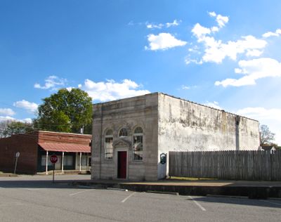
Loretto is a small town in Lawrence County in southern Tennessee, located near the Alabama border. The community functions as a local administrative center serving the surrounding rural area.

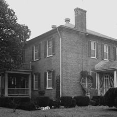
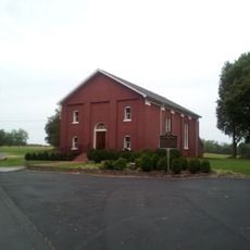
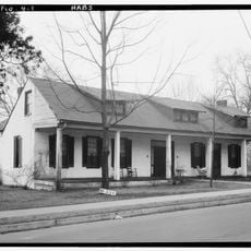
The town developed during the 1800s as a settlement in Lawrence County and gradually organized into a formal municipality. Local government structures were established to serve the area's residents over time.

The Loretto municipal area maintains educational institutions including South Lawrence Elementary School and Loretto High School, contributing to community development and education.

The town is easily accessible by car along main roads that run through Lawrence County. Most services and facilities are located in the central downtown area.

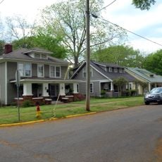
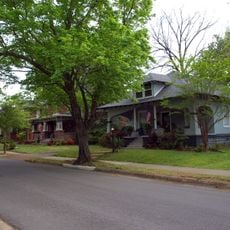
The administrative jurisdiction incorporates both residential and commercial zones, maintaining a population density of 424 people per square mile within its boundaries.

The community of curious travelers

AroundUs brings together thousands of curated places, local tips, and hidden gems, enriched daily by 60,000 contributors worldwide.

Start exploring
GPS coordinates
35.07786,-87.43974
Latest update
December 10, 2025 15:52
Around this place
Wilson Dam
United States of America

Wilson Dam

35.3 km
Wheeler Dam
United States of America

Wheeler Dam

30.6 km
Sweetwater Mansion
United States of America

Sweetwater Mansion

33.8 km
Wheeler Lake
United States of America

Wheeler Lake

30.4 km
David Crockett State Park
United States of America

David Crockett State Park

20.5 km
Forks of Cypress
United States of America

Forks of Cypress

36.8 km
Braly Municipal Stadium
United States of America

Braly Municipal Stadium

36.6 km
Wilson Lake
United States of America

Wilson Lake

35.2 km
Wesleyan Hall
United States of America

Wesleyan Hall

37 km
Rogers Hall
United States of America

Rogers Hall

37.4 km
Coby Hall
United States of America

Coby Hall

37.5 km
Old Brick Presbyterian Church
United States of America

Old Brick Presbyterian Church

35.1 km
Clyde Carter House
United States of America

Clyde Carter House

33 km
Sacred Heart of Jesus Church
United States of America

Sacred Heart of Jesus Church

21 km
Mount Zion Methodist Episcopal Church South
United States of America

Mount Zion Methodist Episcopal Church South

18.9 km
Downtown Florence Historic District
United States of America

Downtown Florence Historic District

37.7 km
Old Florence Water Tower
United States of America

Old Florence Water Tower

36.3 km
Sannoner Historic District
United States of America

Sannoner Historic District

37.5 km
Wood Avenue Historic District
United States of America

Wood Avenue Historic District

37.1 km
Garrett House
United States of America

Garrett House

20.5 km
Wilson Park Houses
United States of America

Wilson Park Houses

37.3 km
Cherry Street Historic District
United States of America

Cherry Street Historic District

36.8 km
William Bowen Lustron House
United States of America

William Bowen Lustron House

36.9 km
College Place Historic District
United States of America

College Place Historic District

36.7 km
United States of America

Hallehurst

37.4 km
Seminary-O'Neal Historic District
United States of America

Seminary-O'Neal Historic District

37.3 km
Joe Wheeler State Park
United States of America

Joe Wheeler State Park

30.1 km
Shoals Theatre
United States of America

Shoals Theatre

37.6 km
Show the full map
Reviews
Share your experience

No review yet

Discussions
Start a discussion...

No discussion yet

« Loretto - Municipal administrative area in Lawrence County, Tennessee » is provided by Around Us (aroundus.com). Images and texts are derived from Wikimedia project under a Creative Commons license. You are allowed to copy, distribute, and modify copies of this page, under the conditions set by the license, as long as this note is clearly visible.

Discover hidden gems everywhere you go!

From secret cafés to breathtaking viewpoints, skip the crowded tourist spots and find places that match your style. Our app makes it easy with voice search, smart filtering, route optimization, and insider tips from travelers worldwide. Download now for the complete mobile experience.

Around Us App Screenshot

A unique approach to discovering new places

Le Figaro

All the places worth exploring

France Info

A tailor-made excursion in just a few clicks

20 Minutes

Around Us
Travel Guide & Maps
Download

Send to your phone

QR Code
1

Open the camera app on your mobile.

2

Point at the QR code with your camera. A notification will appear.

3

Tap the notification to open the link.