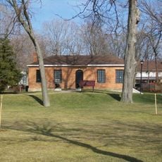
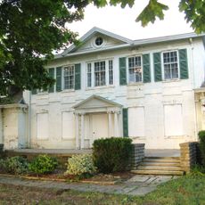
Grosse Ile Township, Census-designated township in Wayne County, Michigan, United States.
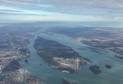
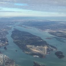
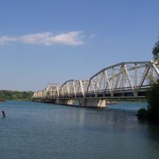
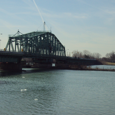
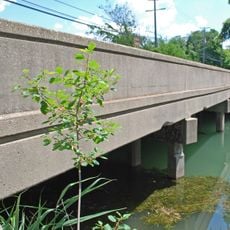
Grosse Ile Township is a community spread across several islands in the Detroit River, with the main island consisting of two connected landmasses. The area features residential neighborhoods and green spaces interspersed between the waterways that separate the various islands.
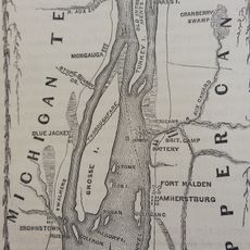
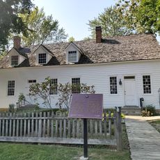
The Potawatomi Native Americans called the area Kitcheminishen before European settlers arrived in the late 1600s. The area later developed into an important trading post and then a residential community along the strategic river.
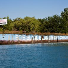
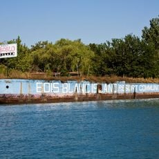
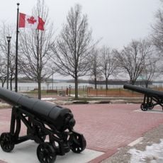
The name carries French origins, meaning "Great Island" and reflecting early French influence in the region. Residents maintain a strong connection to this island heritage through local traditions and community identity.
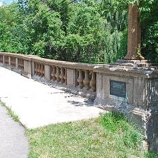
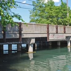
Most areas are easy to traverse via established roads, with bridges connecting the islands together. Visitors should note that parking can be limited in popular areas, and it is wise to explore during early hours.
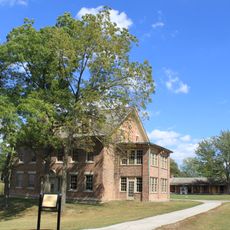
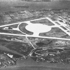
During World War II, a Naval Air Station here served as a training facility for American and British military pilots. This historical role in wartime preparation makes the location particularly noteworthy for history enthusiasts.
Location: Wayne County
Elevation above the sea: 181 m
Shares border with: Wyandotte
GPS coordinates: 42.13000,-83.16028
Latest update: December 20, 2025 15:26
Boblo Island Amusement Park
5.4 km
Bois Blanc Island
4.9 km
Grosse Ile
2 m
Fort Malden
4.6 km
Grosse Ile Toll Bridge
4.7 km
Lake Erie Metropark
7.8 km
Bois Blanc Island Lighthouse and Blockhouse
5.8 km
Fort Amherstburg
4.7 km
Wayne County Bridge
1.3 kmSugar Island
4.5 km
Amherstburg Royal Naval Dockyard
5 km
East River Road Historic District
1.6 km
St. James Episcopal Church
1.6 km
Park House Museum
4.9 km
Calf Island
3.4 km
Gibraltar Road–Waterway Canal Bridge
4.6 kmFox Island
3.1 km
Parke Lane Road–Thorofare Canal Bridge
4.4 km
East River Road–North Hickory Canal Bridge
3.9 km
South Pointe Drive–Frenchman's Creek Bridge
3.2 km
Ferry Street–Thorofare Canal Bridge
953 m
Amherstburg First Baptist Church
5.4 km
Nazrey African Methodist Episcopal Church
5.5 km
Bois Blanc Island Lighthouse
5.9 km
St. John the Baptist Church
5.6 km
Southgate Tower
7 km
Commissariat Office
4.9 km
Belle Vue
5.7 kmVisited this place? Tap the stars to rate it and share your experience / photos with the community! Try now! You can cancel it anytime.
Discover hidden gems everywhere you go!
From secret cafés to breathtaking viewpoints, skip the crowded tourist spots and find places that match your style. Our app makes it easy with voice search, smart filtering, route optimization, and insider tips from travelers worldwide. Download now for the complete mobile experience.
A unique approach to discovering new places❞
— Le Figaro
All the places worth exploring❞
— France Info
A tailor-made excursion in just a few clicks❞
— 20 Minutes