Montrose, human settlement in Wright County, Minnesota, United States of America
Location: Wright County
Elevation above the sea: 303 m
Website: http://montrose-mn.com
GPS coordinates: 45.06500,-93.91111
Latest update: March 15, 2025 23:22
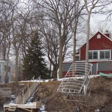
Crane Island Historic District
26.8 km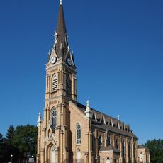
Church of St. Michael-Catholic
25.3 km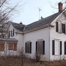
Tobias G. Mealey House
27.8 km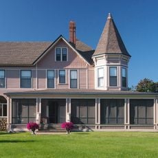
Rand House
27.8 km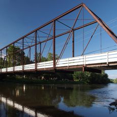
Hanover Bridge
22 km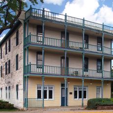
Thayer Hotel
27.7 km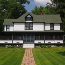
Thompson Summer House
28.2 km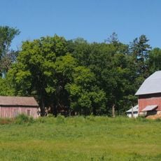
Andrew Peterson Farmstead
26.8 km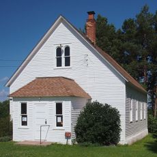
Cokato Temperance Hall
23.2 km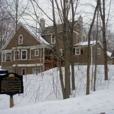
Peter Gideon Farmhouse
30.9 km
Cokato Museum & Gust Akerlund Studio
22 km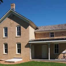
Wendelin Grimm Farmstead
24.9 km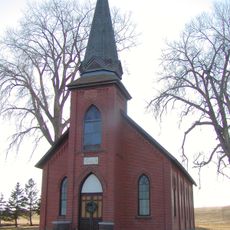
Marysville Swedesburg Lutheran Church
6.5 km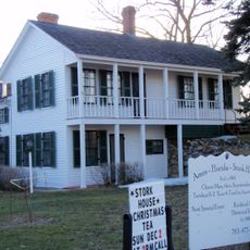
Ames-Florida House
14.3 km
Dr. E.P. Hawkins Clinic, Hospital, and House
294 m
Simon Weldele House
9.8 km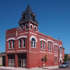
Delano Village Hall
10 km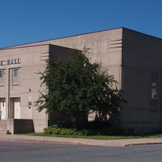
Waverly Village Hall
4.4 km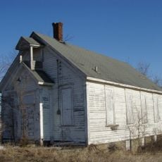
District No. 48 School
6.7 km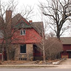
Nicherson–Tarbox House
28.2 km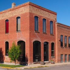
Eagle Newspaper Office
10.2 km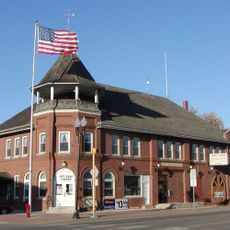
Howard Lake City Hall
12.5 km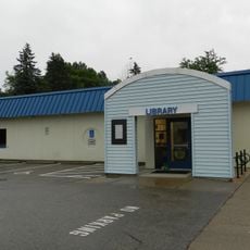
Maple Plain Library
21.1 km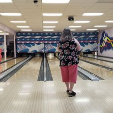
Huikko's Bowling Center
13.8 km
Lake Maria State Park
27.9 km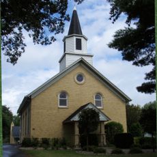
Laketown Moravian Brethren's Church
28.6 km
Hooked On Classics
12.4 km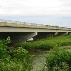
Highway 25 Bridge
28.7 kmVisited this place? Tap the stars to rate it and share your experience / photos with the community! Try now! You can cancel it anytime.
Discover hidden gems everywhere you go!
From secret cafés to breathtaking viewpoints, skip the crowded tourist spots and find places that match your style. Our app makes it easy with voice search, smart filtering, route optimization, and insider tips from travelers worldwide. Download now for the complete mobile experience.

A unique approach to discovering new places❞
— Le Figaro
All the places worth exploring❞
— France Info
A tailor-made excursion in just a few clicks❞
— 20 Minutes