Enable Location

We need your location to show you interesting places around you

Discover nearby places

Find interesting locations and hidden gems around you

Precise directions

Get accurate directions and distances to places

Your location is never shared with other users. It's only used when you tap the location button.

Wright County

Log in to your account

Start exploring — it's free

Trusted by 63,016 travelers worldwide

Continue with Google
Continue with Apple
or

We will send you a code to connect

By continuing, you accept our Terms and Conditions and our Privacy Policy

Check your inbox

We've sent a pincode in your inbox. Please enter the code below.

Discussion Reviews 1 Photos
23.8k Popularity

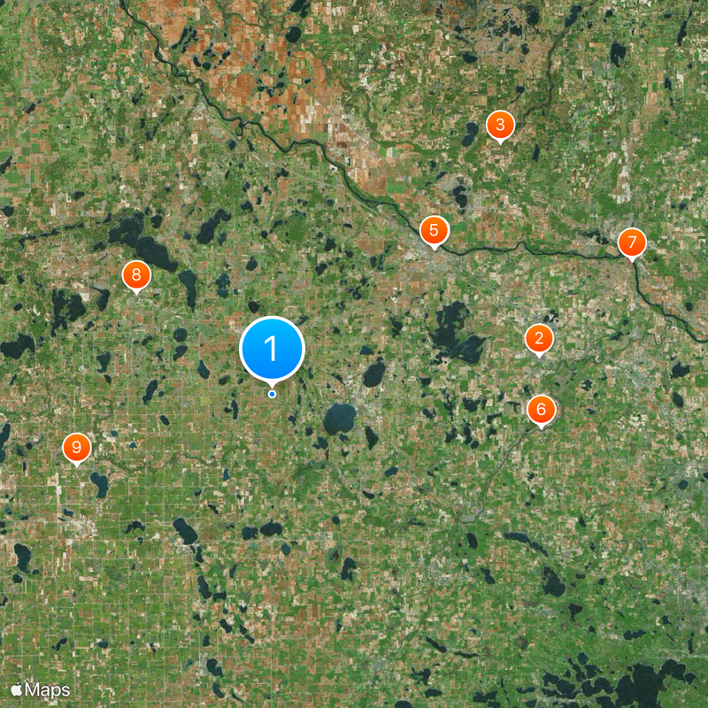
Wright County, Administrative division in central Minnesota, United States

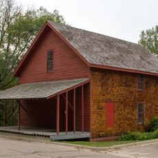
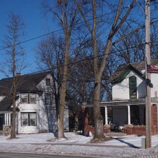
Wright County is an administrative division in central Minnesota located between Minneapolis and Saint Cloud, encompassing lakes, forests, and farmland. The area contains several small towns and communities scattered throughout a predominantly rural landscape.

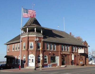
Wright County was established on February 20, 1855 by the Minnesota Territorial Legislature with Buffalo designated as the county seat. This decision formally created the region as an administrative entity for territorial governance.

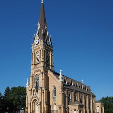
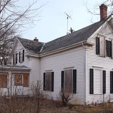
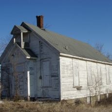
The Wright County Historical Society maintains archives, photographs, and documents that detail the development of local communities since the 1850s.

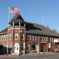
Buffalo houses the county administration building where residents access services including property assessment, permits, and public records. This location serves as the central hub for administrative matters affecting the entire region.

The Bertram Chain of Lakes contains connected water bodies spanning roughly 1.200 acres with hiking trails and recreation facilities. This network of lakes enables year-round outdoor activities within a natural setting.

The community of curious travelers

AroundUs brings together thousands of curated places, local tips, and hidden gems, enriched daily by 60,000 contributors worldwide.

Start exploring
Location
Inception
February 20, 1855
Capital city
Buffalo
Shares border with
Sherburne County, Carver County, McLeod County, Hennepin County, Meeker County, Stearns County
GPS coordinates
45.18000,-93.97000
Latest update
December 20, 2025 13:41
Around this place
Church of St. Michael-Catholic
United States of America

Church of St. Michael-Catholic

24.2 km
United States of America

KPXM Tower

30.5 km
Tobias G. Mealey House
United States of America

Tobias G. Mealey House

19.6 km
Rand House
United States of America

Rand House

19.6 km
Hanover Bridge
United States of America

Hanover Bridge

24.4 km
Betty Adkins Bridge
United States of America

Betty Adkins Bridge

34.5 km
Thayer Hotel
United States of America

Thayer Hotel

15.3 km
Cokato Temperance Hall
United States of America

Cokato Temperance Hall

18.7 km
Cokato Museum & Gust Akerlund Studio
United States of America

Cokato Museum & Gust Akerlund Studio

20.9 km
Marysville Swedesburg Lutheran Church
United States of America

Marysville Swedesburg Lutheran Church

7.3 km
Ames-Florida House
United States of America

Ames-Florida House

21.4 km
Fair Haven Flour Mill
United States of America

Fair Haven Flour Mill

24.5 km
Dr. E.P. Hawkins Clinic, Hospital, and House
United States of America

Dr. E.P. Hawkins Clinic, Hospital, and House

13.3 km
Simon Weldele House
United States of America

Simon Weldele House

20.8 km
Parrish Avenue Bridge
United States of America

Parrish Avenue Bridge

34.5 km
Clearwater Masonic Lodge
United States of America

Clearwater Masonic Lodge

27.6 km
Babcock Memorial Park
United States of America

Babcock Memorial Park

34.6 km
Delano Village Hall
United States of America

Delano Village Hall

21 km
First Congregational Church of Clearwater
United States of America

First Congregational Church of Clearwater

27.4 km
Waverly Village Hall
United States of America

Waverly Village Hall

12.6 km
District No. 48 School
United States of America

District No. 48 School

17.1 km
Nicherson–Tarbox House
United States of America

Nicherson–Tarbox House

19.8 km
Eagle Newspaper Office
United States of America

Eagle Newspaper Office

21.2 km
William W. Webster House
United States of America

William W. Webster House

27.7 km
Howard Lake City Hall
United States of America

Howard Lake City Hall

15.4 km
St. Mark's Episcopal Chapel
United States of America

St. Mark's Episcopal Chapel

18 km
Maple Plain Library
United States of America

Maple Plain Library

31.3 km
Oliver H. Kelley Farm
United States of America

Oliver H. Kelley Farm

35 km
Show the full map
Reviews
Share your experience

No review yet

Discussions
Start a discussion...

No discussion yet

« Wright County - Administrative division in central Minnesota, United States » is provided by Around Us (aroundus.com). Images and texts are derived from Wikimedia project under a Creative Commons license. You are allowed to copy, distribute, and modify copies of this page, under the conditions set by the license, as long as this note is clearly visible.

Discover hidden gems everywhere you go!

From secret cafés to breathtaking viewpoints, skip the crowded tourist spots and find places that match your style. Our app makes it easy with voice search, smart filtering, route optimization, and insider tips from travelers worldwide. Download now for the complete mobile experience.

Around Us App Screenshot

A unique approach to discovering new places

Le Figaro

All the places worth exploring

France Info

A tailor-made excursion in just a few clicks

20 Minutes

Around Us
Travel Guide & Maps
Download

Send to your phone

QR Code
1

Open the camera app on your mobile.

2

Point at the QR code with your camera. A notification will appear.

3

Tap the notification to open the link.