
Wagner, city in Charles Mix County, South Dakota, United States
Location: Charles Mix County
Elevation above the sea: 441 m
Website: http://www.cityofwagner.org/
Website: http://cityofwagner.org
GPS coordinates: 43.08028,-98.29472
Latest update: March 4, 2025 09:34
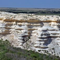
Niobrara Formation
42.5 km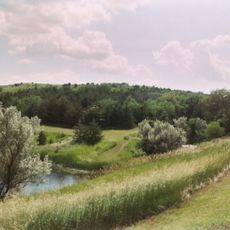
Niobrara State Park
42.6 km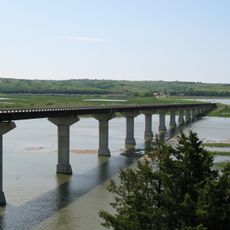
Chief Standing Bear Memorial Bridge
42.6 km
Lake Andes National Wildlife Refuge
16.8 km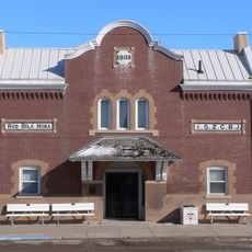
Z.C.B.J. Opera House
57.9 km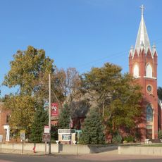
St. Wenceslaus Catholic Church and Parish House
53.8 km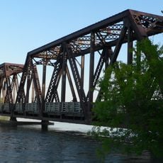
Niobrara River Bridge
40.3 km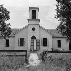
Congregational Church and Manse
45.4 km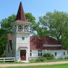
Church of Our Most Merciful Saviour
45.8 km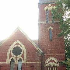
St. Andrew's Episcopal Church
47.5 km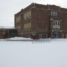
Delmont Public School
23.1 km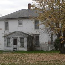
Old St. Wenceslaus Catholic Parish House
53.9 km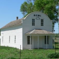
Rad Sladkovsky
40 km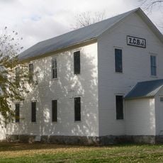
ZCBJ Hall
36.1 km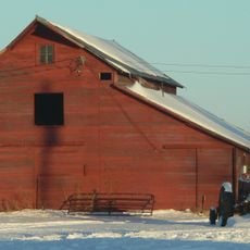
Rouse Ranch
49.6 km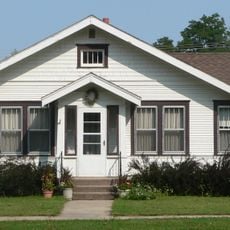
Armour Historic District
27.1 km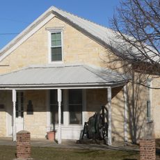
Methodist Episcopal Church
48.9 km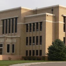
Charles Mix County Courthouse
21.5 km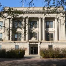
Bon Homme County Courthouse
36.2 km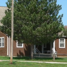
Ponca Tribal Self-Help Community Building Historic District
44.1 km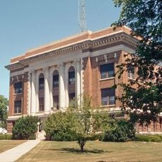
Douglas County Courthouse
26.2 km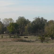
John Frydrych Farmstead
43.7 km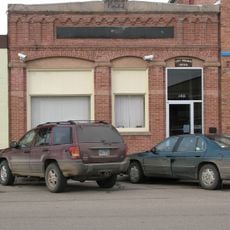
Delmont State Bank
23.7 km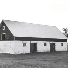
Mathias Merkwan Rubblestone Barn
55.8 km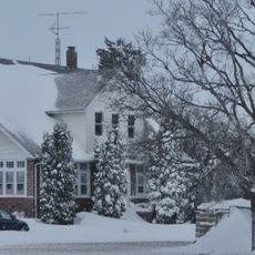
Wagner House
10.5 km
Dimock (Dakota do Sul)
57.6 km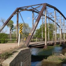
Gross State Aid Bridge
51.6 km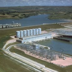
Lake Francis Case
21.9 kmReviews
Visited this place? Tap the stars to rate it and share your experience / photos with the community! Try now! You can cancel it anytime.
Discover hidden gems everywhere you go!
From secret cafés to breathtaking viewpoints, skip the crowded tourist spots and find places that match your style. Our app makes it easy with voice search, smart filtering, route optimization, and insider tips from travelers worldwide. Download now for the complete mobile experience.

A unique approach to discovering new places❞
— Le Figaro
All the places worth exploring❞
— France Info
A tailor-made excursion in just a few clicks❞
— 20 Minutes