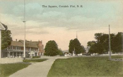
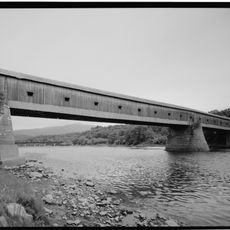
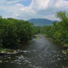
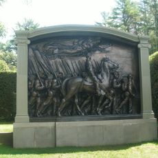
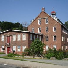
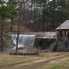
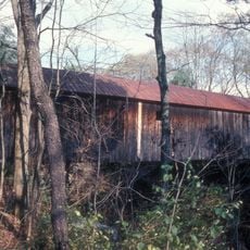
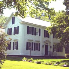
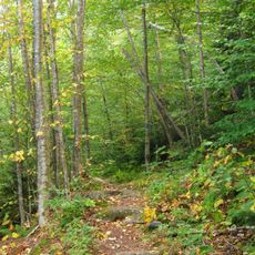
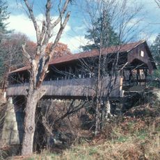
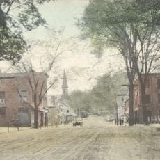
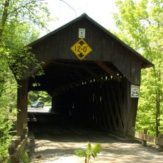
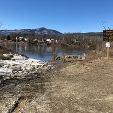
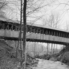
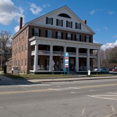
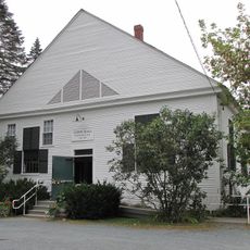
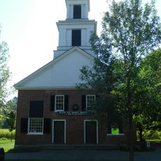
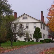
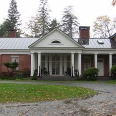
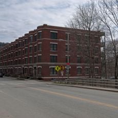
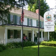
Cornish, town in New Hampshire, USA
Location: Sullivan County
Inception: 1765
Elevation above the sea: 142 m
Website: https://cornishnh.net
GPS coordinates: 43.46472,-72.36917
Latest update: May 27, 2025 11:35
Juniper Hill Farm-Maxwell Evarts House
3.7 km
Cornish–Windsor Covered Bridge
1.5 km
Mount Ascutney
7.3 km
Saint-Gaudens National Historical Park
4 km
American Precision Museum
2 km
Ascutney Mill Dam
2.6 km
Blow-Me-Down Covered Bridge
5.9 km
Salmon P. Chase Birthplace
1.8 km
Cornish Colony Museum
2.1 km
Ascutney State Park
6.2 km
Dingleton Hill Covered Bridge
58 m
Windsor Village Historic District
2.3 km
Martin's Mill Covered Bridge
7.9 km
Cornish Wildlife Management Area
1.7 km
Kenyon Bridge
1.5 km
Windsor House
2.4 km
Damon Hall
8.9 km
Plainfield Town Hall
8 km
Blow-Me-Down Grange
7.7 km
Fowler-Steele House
3.1 km
David Sumner House
8.7 km
NAMCO Block
2.1 km
Louis St. Gaudens House and Studio
4.3 km
Mothers' and Daughters' Club House
8 km
Saint-Gaudens National Historical Park
4 km
Twing Buckman House
1.8 km
Old Constitution House
2.5 km
George H. Stowell Free Library
8.2 kmVisited this place? Tap the stars to rate it and share your experience / photos with the community! Try now! You can cancel it anytime.
Discover hidden gems everywhere you go!
From secret cafés to breathtaking viewpoints, skip the crowded tourist spots and find places that match your style. Our app makes it easy with voice search, smart filtering, route optimization, and insider tips from travelers worldwide. Download now for the complete mobile experience.
A unique approach to discovering new places❞
— Le Figaro
All the places worth exploring❞
— France Info
A tailor-made excursion in just a few clicks❞
— 20 Minutes