
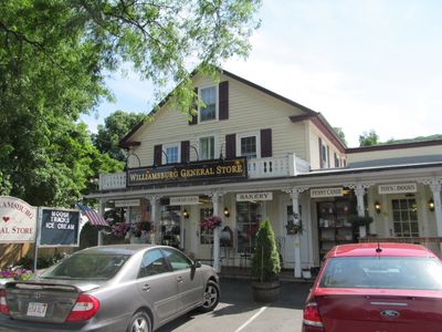
Williamsburg, town in Hampshire County, Massachusetts, United States
Location: Hampshire County
Inception: 1735
Elevation above the sea: 162 m
Website: http://burgy.org
GPS coordinates: 42.39306,-72.73056
Latest update: March 3, 2025 16:13
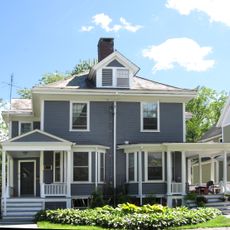
Calvin Coolidge House
10.3 km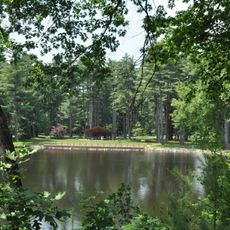
Look Park
6.4 km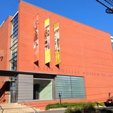
Smith College Museum of Art
11.3 km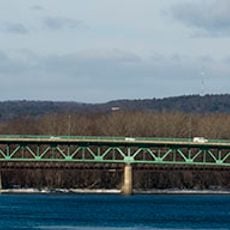
Calvin Coolidge Bridge
11.2 km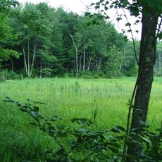
D.A.R. State Forest
9 km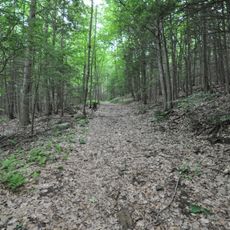
Petticoat Hill
1.7 km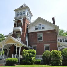
Grove Hill Mansion
5.1 km
Smith Alumnae Gymnasium
11.4 km
Hatfield Center Historic District
11.3 km
West Hatfield Historic District
8.1 km
Bisbee Mill
7.5 km
Ross Farm
7.8 km
The Manse
11 km
Williamsburg Center Historic District
96 m
Upper Main Street Historic District
10.9 km
Building at 8–22 Graves Avenue
11.5 km
Elm Street Historic District
10.1 km
Dorsey-Jones House
8.4 km
Mill-Prospect Street Historic District
9.9 km
Whately Center Historic District
9.3 km
Chesterfield Center Historic District
9.1 km
West Whately Historic District
6.4 km
Goshen Town Hall
7.8 km
Norwottuck Rail Trail Bridge
11.1 km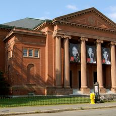
John M. Greene Hall
11.2 km
Old Mill Site Historic District
11.3 km
North Hatfield Historic District
9 km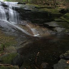
Chapel Brook Falls
10.2 kmVisited this place? Tap the stars to rate it and share your experience / photos with the community! Try now! You can cancel it anytime.
Discover hidden gems everywhere you go!
From secret cafés to breathtaking viewpoints, skip the crowded tourist spots and find places that match your style. Our app makes it easy with voice search, smart filtering, route optimization, and insider tips from travelers worldwide. Download now for the complete mobile experience.

A unique approach to discovering new places❞
— Le Figaro
All the places worth exploring❞
— France Info
A tailor-made excursion in just a few clicks❞
— 20 Minutes