Hampshire County

Log in to your account

AroundUs is a community-driven map of interesting places, built by curious explorers like you. It grows with every review, story, and photo you share.
Connect to save your favorite spots, contribute locations, and create personalized routes.
Continue with Google
Continue with Apple
Continue with X
Continue with Facebook
Continue with email
By continuing, you accept our Terms and Conditions and our Privacy Policy
Create an account
Add to collection
Map
Suggest a change
Share

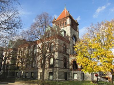
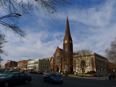
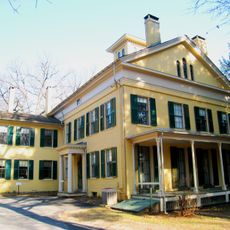
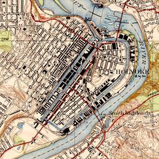
Hampshire County, Administrative county in Western Massachusetts, US.

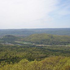
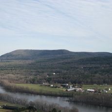
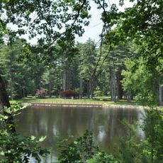
Hampshire County is an administrative county in Western Massachusetts that spreads across rolling terrain and fertile valleys with rivers flowing through its landscape. The region contains several towns and communities of varying sizes, connected by natural areas and rural countryside.

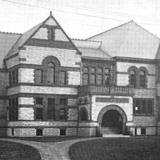
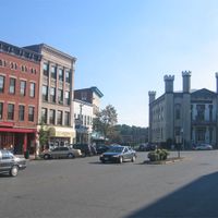
This county was established in 1662 as part of the Massachusetts Bay Colony, with early settlements including Springfield, Northampton, and Hadley. The founding period shaped the region's later development in Western Massachusetts.

The Five Colleges consortium, including University of Massachusetts and Smith College, shapes the local culture through lectures, exhibitions, and public events that draw both residents and visitors. This educational presence brings together people from around the world and influences how the communities in the region develop and think.

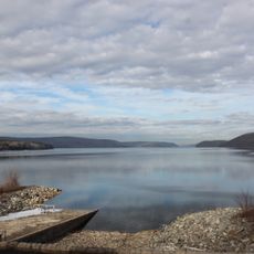
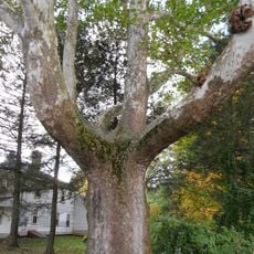
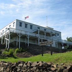
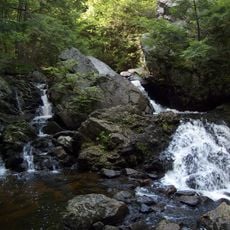
The region offers many opportunities for outdoor activities such as kayaking and mountain biking in natural areas and river landscapes. Visitors should expect different conditions depending on the season and explore local trails and protected natural areas.

This is the only county in Massachusetts that is completely surrounded by other counties without touching any state border or coastline. This geographic feature makes it entirely enclosed by neighboring administrative areas.

Location: Massachusetts

Inception: 1662

Capital city: Northampton

Shares border with: Franklin County, Worcester County, Hampden County, Berkshire County

Website: http://hampshirecog.org

GPS coordinates: 42.32225,-72.62073

Latest update: December 17, 2025 09:03

Photos
Around this place
Quabbin Reservoir
United States of America

Quabbin Reservoir

26.7 km
Warren McGuirk Alumni Stadium
United States of America

Warren McGuirk Alumni Stadium

9.3 km
Emily Dickinson Museum
United States of America

Emily Dickinson Museum

10.6 km
Mount Tom
United States of America

Mount Tom

9.2 km
Belchertown State School
United States of America

Belchertown State School

17.7 km
Metacomet-Monadnock Trail
United States of America

Metacomet-Monadnock Trail

29 km
Dana
United States of America

Dana

34.2 km
Northampton State Hospital
United States of America

Northampton State Hospital

2.4 km
Mount Holyoke
United States of America

Mount Holyoke

3.6 km
Buttonball Tree
United States of America

Buttonball Tree

16.7 km
United States of America

Mountain Park

8.7 km
Dinosaur Footprints Reservation
United States of America

Dinosaur Footprints Reservation

9 km
Calvin Coolidge Presidential Library and Museum
United States of America

Calvin Coolidge Presidential Library and Museum

1.4 km
Eric Carle Museum of Picture Book Art
United States of America

Eric Carle Museum of Picture Book Art

7.2 km
Post-Attack Command and Control System Facility, Hadley
United States of America

Post-Attack Command and Control System Facility, Hadley

7.3 km
Bare Mountain
United States of America

Bare Mountain

7.6 km
Sugarloaf Mountain
United States of America

Sugarloaf Mountain

16.6 km
J. A. Skinner State Park
United States of America

J. A. Skinner State Park

3.3 km
United States of America

Camp Ramah in New England

28.3 km
Mount Toby
United States of America

Mount Toby

19.7 km
Bear's Den
United States of America

Bear's Den

34.4 km
Historic Deerfield
United States of America

Historic Deerfield

25.1 km
Calvin Coolidge House
United States of America

Calvin Coolidge House

2.2 km
Holyoke Canal System
United States of America

Holyoke Canal System

12.8 km
Bookmill
United States of America

Bookmill

25 km
William Cullen Bryant Homestead
United States of America

William Cullen Bryant Homestead

31.1 km
Curry Hicks Cage
United States of America

Curry Hicks Cage

10.5 km
Look Park
United States of America

Look Park

6.1 km
Show the full map
Reviews

Visited this place? Tap the stars to rate it and share your experience / photos with the community! Try now! You can cancel it anytime.

Administrative divisions
« Hampshire County - Administrative county in Western Massachusetts, US » is provided by Around Us (aroundus.com). Images and texts are derived from Wikimedia project under a Creative Commons license. You are allowed to copy, distribute, and modify copies of this page, under the conditions set by the license, as long as this note is clearly visible.

Discover hidden gems everywhere you go!

From secret cafés to breathtaking viewpoints, skip the crowded tourist spots and find places that match your style. Our app makes it easy with voice search, smart filtering, route optimization, and insider tips from travelers worldwide. Download now for the complete mobile experience.

Around Us App Screenshot

A unique approach to discovering new places

Le Figaro

All the places worth exploring

France Info

A tailor-made excursion in just a few clicks

20 Minutes