Topsfield, town in Essex County, Massachusetts, United States of America
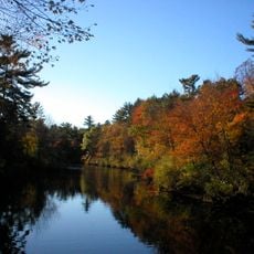
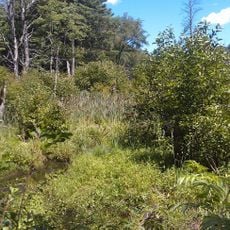
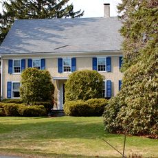
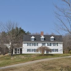
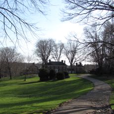
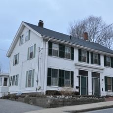
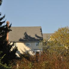
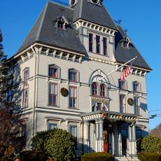
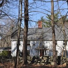
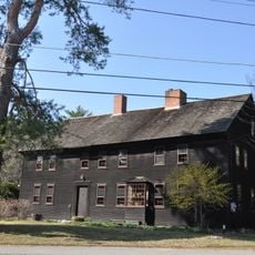
Topsfield is a small town in Essex County, Massachusetts, featuring quiet streets, large homes with yards, and open agricultural fields throughout the area. The town center has a few shops and cafes, while parks and green spaces provide gathering areas for residents and families.
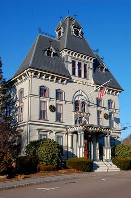
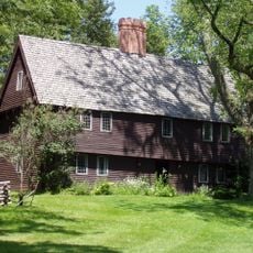
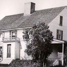
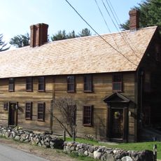
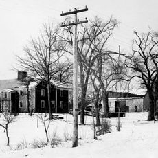
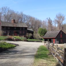
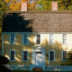
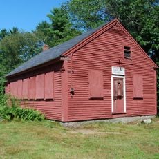
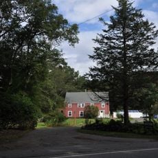
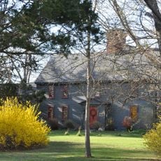
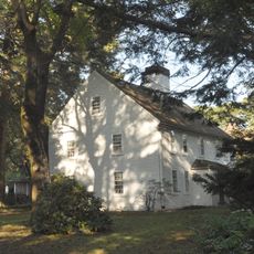
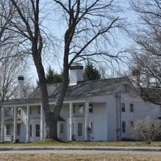
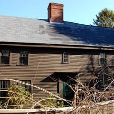
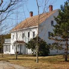
Topsfield was founded during the early days of the United States, growing from small farms and local trades. Many buildings and stone walls still date back to these founding periods, serving as reminders of the town's long settlement history.
The name reflects the elevated farmland that once defined the area, and this agricultural heritage remains visible in how residents gather for seasonal markets and community festivals. These events show how the town's rural roots continue to shape social life and local traditions.
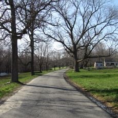
The town is easy to explore on foot or by bike thanks to quiet, well-maintained roads. For shopping and services, visitors can use local stores or take short drives to larger nearby towns for more extensive options.
The town hosts a yearly fair that has drawn visitors and residents for many decades, featuring rides, games, and live music. This long-standing tradition remains a key event that brings the whole community together across generations.
The community of curious travelers
AroundUs brings together thousands of curated places, local tips, and hidden gems, enriched daily by 60,000 contributors worldwide.