
Egremont, town in Berkshire County, Massachusetts, United States
Website: https://egremont-ma.gov
GPS coordinates: 42.18472,-73.41444
Latest update: March 2, 2025 23:52
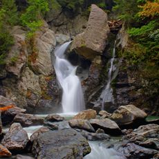
Bash Bish Falls
10.1 km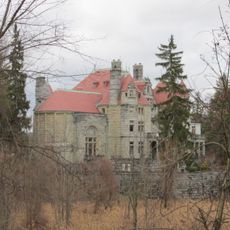
Searles Castle
4.4 km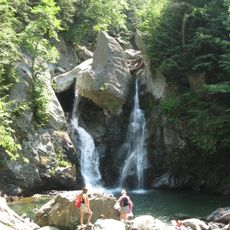
Bash Bish Falls State Park
10.2 km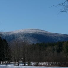
Mount Everett
9.4 km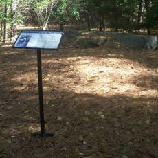
W.E.B. Du Bois Boyhood Homesite
1.9 km
Mount Washington State Forest
7.4 km
Mount Everett State Reservation
9.4 km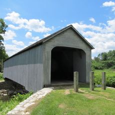
Old Covered Bridge
8.4 km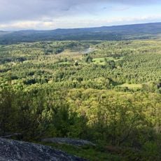
Jug End State Reservation and Wildlife Management Area
5.1 km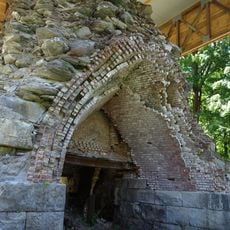
Copake Iron Works Historic District
11 km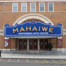
Mahaiwe Block
4.4 km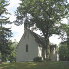
Church of St. John in the Wilderness
11.2 km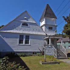
Clinton African Methodist Episcopal Zion Church
4.5 km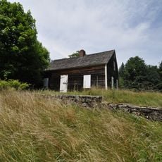
Benjamin Osborn House
8.8 km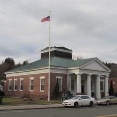
United States Post Office–Great Barrington Main
4.8 km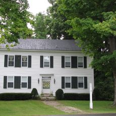
Sheffield Plain Historic District
8.4 km
South Egremont Village Historic District
3 km
Hillsdale Hamlet Historic District
8.9 km
Sheffield Center Historic District
10.1 km
North Chatham Historic District
11 km
Columbia Turnpike-East Tollhouse
6.3 km
Dwight-Henderson House
4.1 km
North Egremont Historic District
2.6 km
Westover-Bacon-Potts Farm
4.1 km
Taconic and West Avenues Historic District
3.9 km
Wheeler Family Farmstead
4.3 km
Mount Race
11.5 km
North Hillsdale Methodist Church
9.7 kmVisited this place? Tap the stars to rate it and share your experience / photos with the community! Try now! You can cancel it anytime.
Discover hidden gems everywhere you go!
From secret cafés to breathtaking viewpoints, skip the crowded tourist spots and find places that match your style. Our app makes it easy with voice search, smart filtering, route optimization, and insider tips from travelers worldwide. Download now for the complete mobile experience.

A unique approach to discovering new places❞
— Le Figaro
All the places worth exploring❞
— France Info
A tailor-made excursion in just a few clicks❞
— 20 Minutes