Chest opened
+${chestReward.xp} XP
Explorer
NOUVEAU ×${chestReward.collectible.quantity}
tapez pour fermer
Chest locked

Open chests in the app

Around Us is built for your phone — chests unlock when you walk, explore and capture nearby places.

Enable Location

We need your location to show you interesting places around you

Discover nearby places

Find interesting locations and hidden gems around you

Precise directions

Get accurate directions and distances to places

Your location is never shared with other users. It's only used when you tap the location button.

Keyser

Log in to your account

Start exploring — it's free

Trusted by 72,876 travelers worldwide

Continue with Google
Continue with Apple
or

We will send you a code to connect

By continuing, you accept our Terms and Conditions and our Privacy Policy

Check your inbox

We've sent a pincode in your inbox. Please enter the code below.

Discussion Reviews 1 Photos
27.8k Popularity

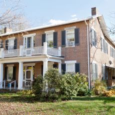
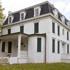
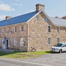
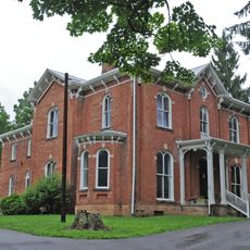
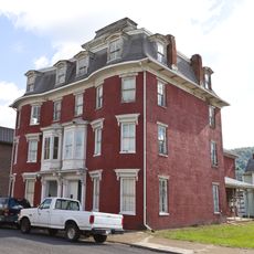
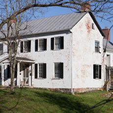
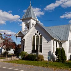
Keyser, County seat in Mineral County, West Virginia, US

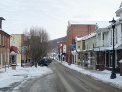
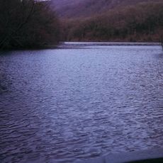
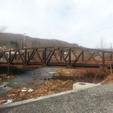
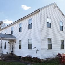
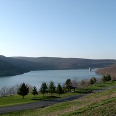
Keyser is a city located in a valley south of the North Branch of the Potomac River in Mineral County, West Virginia. The town sits in hilly terrain shaped by the river's presence.

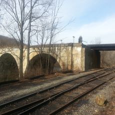
The settlement was originally called Paddy Town, named after Irish immigrant Patrick McCarty. In 1874, it was renamed to honor William Keyser, an official with the Baltimore & Ohio Railroad.

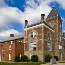
Potomac State College, part of West Virginia University, brings educational activity to the town and shapes how many people spend their days here. The campus presence influences the character and rhythm of daily life in the area.

The town sits in a convenient location between surrounding hills with direct river access, making travel to nearby areas straightforward. Local roads and facilities support everyday movement through the region.

The town became a flashpoint during the Great Railroad Strike of 1877, drawing national attention to labor unrest in the region. This event marked a turning point in the American labor movement and connected the area to broader national tensions.

The community of curious travelers

AroundUs brings together thousands of curated places, local tips, and hidden gems, enriched daily by 60,000 contributors worldwide.

Start exploring
Location
Inception
1852
Elevation above the sea
246 m
GPS coordinates
39.43889,-78.98278
Latest update
December 20, 2025 13:17
Around this place
Stone Cottage
United States of America

Stone Cottage

13.9 km
United States of America

Dans Mountain State Park

13.5 km
Savage River Reservoir
United States of America

Savage River Reservoir

14.9 km
United States of America

Barton Village Site

17.8 km
United States of America

Meyer Site

11.4 km
Bloomington Viaduct
United States of America

Bloomington Viaduct

8.5 km
United States of America

Dan's Mountain Wildlife Management Area

15.1 km
Fort Hill
United States of America

Fort Hill

14.9 km
Waverly Street Bridge
United States of America

Waverly Street Bridge

7.7 km
Thomas R. Carskadon House
United States of America

Thomas R. Carskadon House

951 m
United States of America

Black Rock

15.3 km
Travelers Rest
United States of America

Travelers Rest

11 km
Shaw Mansion
United States of America

Shaw Mansion

11.7 km
United States of America

Borderside

8.9 km
Henry Glassaway Davis House
United States of America

Henry Glassaway Davis House

7.5 km
Lonaconing Historic District
United States of America

Lonaconing Historic District

14.6 km
Carskadon House
United States of America

Carskadon House

12.7 km
Burlington Historic District
United States of America

Burlington Historic District

12.7 km
Vandiver-Trout-Clause House
United States of America

Vandiver-Trout-Clause House

10 km
United States of America

Fairview

12.2 km
Mineral County Courthouse
United States of America

Mineral County Courthouse

833 m
United States of America

San Toy Theatre

14.2 km
Jennings Randolph Lake
United States of America

Jennings Randolph Lake

12 km
United States of America

Mill Creek Country Club Golf Course

11 km
United States of America

Fore Sisters Golf Course

13.9 km
United States of America

Larenim Park Ampitheatre

11.4 km
United States of America

Scenic viewpoint

11.1 km
United States of America

The Waffle Rock panorama

12.2 km
Show the full map
Reviews
Share your experience

No review yet

Discussions
Start a discussion...

No discussion yet

« Keyser - County seat in Mineral County, West Virginia, US » is provided by Around Us (aroundus.com). Images and texts are derived from Wikimedia project under a Creative Commons license. You are allowed to copy, distribute, and modify copies of this page, under the conditions set by the license, as long as this note is clearly visible.

Discover hidden gems everywhere you go!

From secret cafés to breathtaking viewpoints, skip the crowded tourist spots and find places that match your style. Our app makes it easy with voice search, smart filtering, route optimization, and insider tips from travelers worldwide. Download now for the complete mobile experience.

Around Us App Screenshot

A unique approach to discovering new places

Le Figaro

All the places worth exploring

France Info

A tailor-made excursion in just a few clicks

20 Minutes

Around Us
Travel Guide & Maps
Download

Send to your phone

QR Code
1

Open the camera app on your mobile.

2

Point at the QR code with your camera. A notification will appear.

3

Tap the notification to open the link.