
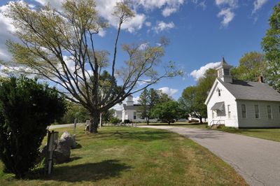
Salem, town in New London County, Connecticut, United States
Location: Southeastern Connecticut Planning Region
Location: New London County
Inception: 1819
Elevation above the sea: 96 m
Website: http://salemct.gov
GPS coordinates: 41.48306,-72.26639
Latest update: March 14, 2025 10:57

Mohegan Sun
14.6 km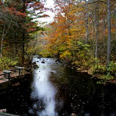
Devil's Hopyard State Park
6.7 km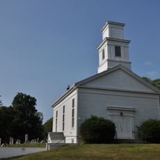
Hadlyme North Historic District
13.2 km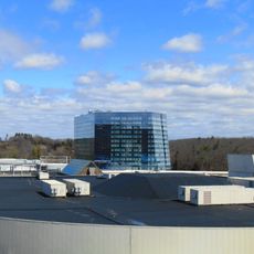
The Earth Tower
14.7 km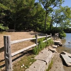
Nehantic State Forest
7.1 km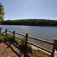
Becket Hill State Park Reserve
12.6 km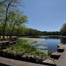
Day Pond State Park
14.9 km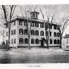
Old Bacon Academy
11.5 km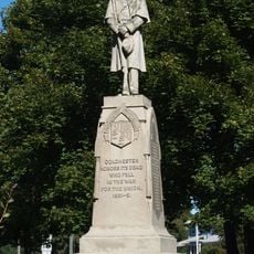
Colchester Village Historic District
11.5 km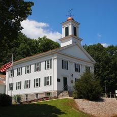
Bozrah Congregational Church and Parsonage
11.7 km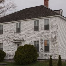
Raymond-Bradford Homestead
8.7 km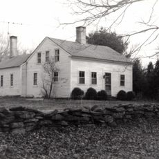
Working Girls' Vacation Society Historic District
11.7 km
Historic Bridges of Devil's Hopyard State Park
6.4 km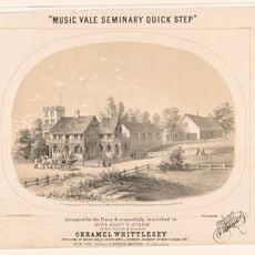
Music Vale Seminary
699 m
Henry Champion House
14.1 km
Hayward House
11.6 km
Wickham Road Historic District
9.7 km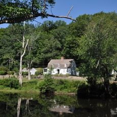
Hamburg Bridge Historic District
12.3 km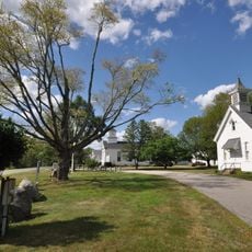
Salem Historic District
780 m
Abel H. Fish House
5.4 km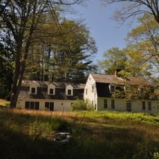
Simon Tiffany House
5.4 km
Wheeler Block
11.4 km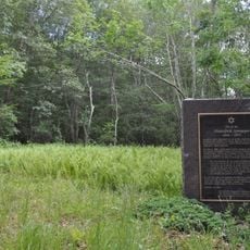
New England Hebrew Farmers of the Emanuel Society Synagogue and Creamery Site
7.5 km
Zagray Farm Museum
14.2 km
Bridge No. 1603
6.4 km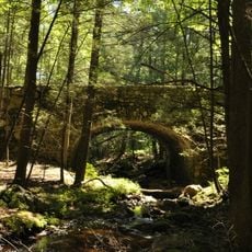
Bridge No. 1605
6.4 km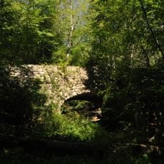
Bridge No. 1604
6.4 km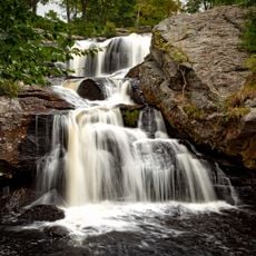
Chapman Falls
6.3 kmVisited this place? Tap the stars to rate it and share your experience / photos with the community! Try now! You can cancel it anytime.
Discover hidden gems everywhere you go!
From secret cafés to breathtaking viewpoints, skip the crowded tourist spots and find places that match your style. Our app makes it easy with voice search, smart filtering, route optimization, and insider tips from travelers worldwide. Download now for the complete mobile experience.

A unique approach to discovering new places❞
— Le Figaro
All the places worth exploring❞
— France Info
A tailor-made excursion in just a few clicks❞
— 20 Minutes