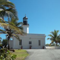
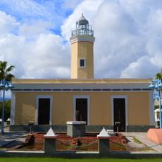
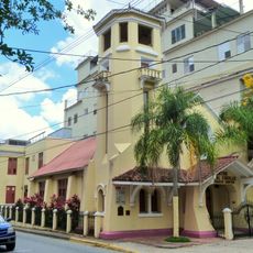
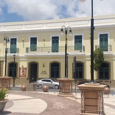
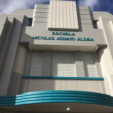
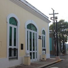
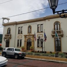
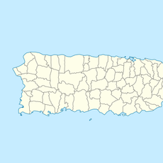
Patillas, Municipality on southeastern coast, Puerto Rico
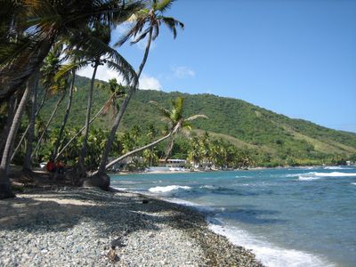
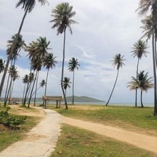
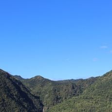
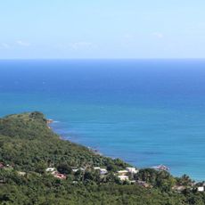
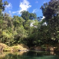
Patillas is a municipality on the southeastern coast of Puerto Rico, with terrain ranging from the mountainous Sierra de Cayey to coastal plains bordering the Caribbean Sea. The landscape combines inland highlands with beach areas and fishing grounds.
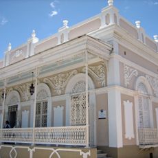
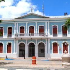
The municipality was officially founded on October 31, 1811, following a land donation by Doña Adelina Cintrón, which marked the beginning of organized settlement in the region. This act set the foundation for the town's development.
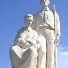
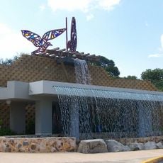
The people of Patillas keep alive their Taíno, Spanish, and African heritage through local celebrations like the yearly Fiestas Patronales de San Benito Abad. These festivals shape community life and show how different cultures have blended together here.
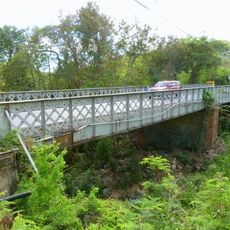
Visitors can reach Patillas via Puerto Rico Highway 53 and Highway 3, which provide good connections to larger cities and the surrounding area. These main roads make it straightforward to navigate into and around the municipality.
The Lago Patillas reservoir, built in 1914, supplies water to surrounding communities and offers fishing and recreation opportunities. This engineering project shaped the area's development and remains central to local life.
The community of curious travelers
AroundUs brings together thousands of curated places, local tips, and hidden gems, enriched daily by 60,000 contributors worldwide.