Enable Location

We need your location to show you interesting places around you

Discover nearby places

Find interesting locations and hidden gems around you

Precise directions

Get accurate directions and distances to places

Your location is never shared with other users. It's only used when you tap the location button.

Uwharrie Mountains

Log in to your account

Start exploring — it's free

Trusted by 69,605 travelers worldwide

Continue with Google
Continue with Apple
or

We will send you a code to connect

By continuing, you accept our Terms and Conditions and our Privacy Policy

Check your inbox

We've sent a pincode in your inbox. Please enter the code below.

Uwharrie Mountains
Discussion Reviews 1 Photos
17.3k Popularity

Uwharrie Mountains, Mountain range in central North Carolina, United States.

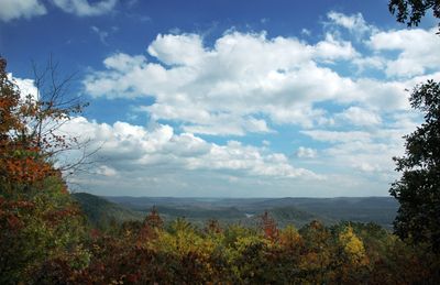
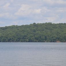
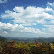
The Uwharrie Mountains form a mountain range in central North Carolina that spans across multiple counties and creates diverse habitats throughout the region. The highest point, High Rock Mountain, rises to about 1,188 feet (362 meters) and sits within the Uwharrie National Forest amid 20,000 hectares of protected land.

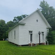
These mountains formed roughly 500 million years ago through geological forces and once towered much higher before erosion gradually reshaped them. European settlement in the region began during the 1700s and brought significant changes to the landscape and its inhabitants.

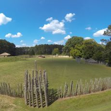
The mountains take their name from the Uwharrie people who once inhabited and shaped this land. Scattered throughout the region are traces of their settlements and tools that reveal how communities lived here long ago.

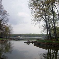
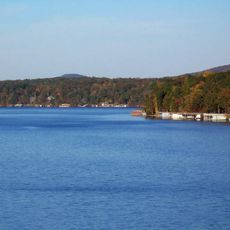
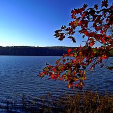
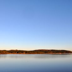
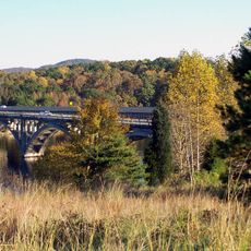
The area offers marked trails, camping spots, and water features to explore at your own pace, with some paths more challenging than others. Fall brings stunning forest colors, but each season has its own appeal and rewards for different types of visitors.

Gold was discovered near these mountains in 1799, sparking the first major gold rush movement in America. This find drew thousands of people to the region and altered the economic path of the nation.

The community of curious travelers

AroundUs brings together thousands of curated places, local tips, and hidden gems, enriched daily by 60,000 contributors worldwide.

Start exploring
Location
GPS coordinates
35.40000,-80.06000
Latest update
December 7, 2025 19:25
Around this place
High Rock Lake
United States of America

High Rock Lake

30.8 km
Lake Tillery
United States of America

Lake Tillery

21.5 km
Badin Lake
United States of America

Badin Lake

3.7 km
Town Creek Indian Mound
United States of America

Town Creek Indian Mound

26.9 km
Pisgah Covered Bridge
United States of America

Pisgah Covered Bridge

21.8 km
Tuckertown Reservoir
United States of America

Tuckertown Reservoir

15.6 km
United States of America

Birkhead Mountains Wilderness

25.8 km
Hardaway Site
United States of America

Hardaway Site

5.1 km
United States of America

North Carolina Aviation Museum

31.7 km
James B. Garrison Bridge
United States of America

James B. Garrison Bridge

10.4 km
Narrows Dam and Power Plant Complex
United States of America

Narrows Dam and Power Plant Complex

3.6 km
Downtown Albemarle Historic District
United States of America

Downtown Albemarle Historic District

13.8 km
Five Points Historic District
United States of America

Five Points Historic District

13.4 km
Isaiah Wilson Snugs House
United States of America

Isaiah Wilson Snugs House

13.5 km
Montgomery County Courthouse
United States of America

Montgomery County Courthouse

15.8 km
Mount Pleasant Collegiate Institute Historic District
United States of America

Mount Pleasant Collegiate Institute Historic District

34.2 km
Thomas Marcellus Denning House
United States of America

Thomas Marcellus Denning House

13.5 km
Mount Pleasant Historic District
United States of America

Mount Pleasant Historic District

34 km
Pee Dee Avenue Historic District
United States of America

Pee Dee Avenue Historic District

12.6 km
Randle House
United States of America

Randle House

15.8 km
First Congregational Church
United States of America

First Congregational Church

33.4 km
Mount Ebal Methodist Protestant Church
United States of America

Mount Ebal Methodist Protestant Church

25.2 km
Liberty Hill School
United States of America

Liberty Hill School

34.1 km
Albemarle Opera House
United States of America

Albemarle Opera House

13.8 km
Mount Gilead Downtown Historic District
United States of America

Mount Gilead Downtown Historic District

21.3 km
Second Street Historic District
United States of America

Second Street Historic District

13.6 km
Town Creek Indian Mound State Historic Site
United States of America

Town Creek Indian Mound State Historic Site

27 km
Morrow Mountain State Park
United States of America

Morrow Mountain State Park

2.2 km
Show the full map
Reviews
Share your experience

No review yet

Discussions
Start a discussion...

No discussion yet

« Uwharrie Mountains - Mountain range in central North Carolina, United States » is provided by Around Us (aroundus.com). Images and texts are derived from Wikimedia project under a Creative Commons license. You are allowed to copy, distribute, and modify copies of this page, under the conditions set by the license, as long as this note is clearly visible.

Discover hidden gems everywhere you go!

From secret cafés to breathtaking viewpoints, skip the crowded tourist spots and find places that match your style. Our app makes it easy with voice search, smart filtering, route optimization, and insider tips from travelers worldwide. Download now for the complete mobile experience.

Around Us App Screenshot

A unique approach to discovering new places

Le Figaro

All the places worth exploring

France Info

A tailor-made excursion in just a few clicks

20 Minutes

Around Us
Travel Guide & Maps
Download

Send to your phone

QR Code
1

Open the camera app on your mobile.

2

Point at the QR code with your camera. A notification will appear.

3

Tap the notification to open the link.