Hanover, town in Massachusetts, United States
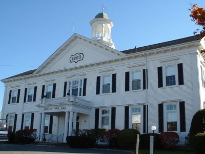
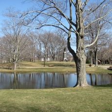
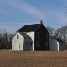
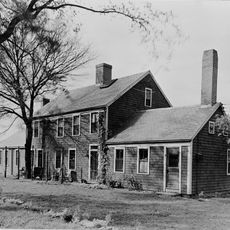
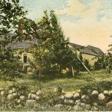
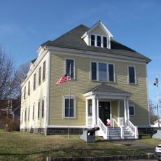
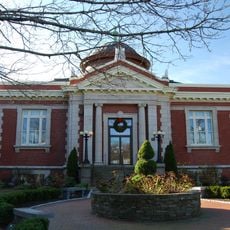
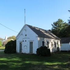
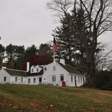
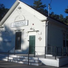
Hanover is a town in Plymouth County, Massachusetts, located south of Boston. It features a mix of residential neighborhoods, local shops, parks, and several historic buildings including old churches and community halls that continue to serve as gathering places for local events.
Hanover was established in 1727 and grew from farming communities and water-powered industries including shipyards and factories. The town became known for inventing the first machine to manufacture tacks and later for producing fireworks and other goods.
The town is easily accessible by road with connections to nearby cities and public transport options available. Visitors can explore on foot, with local shops, restaurants, parks, and recreational facilities like the Starland Sportsplex scattered throughout.
The town was the birthplace of the first machine invented to manufacture tacks, a significant industrial innovation. The Four Corners area preserves the original village architecture with shops and buildings that reflect its historic appearance.
The community of curious travelers
AroundUs brings together thousands of curated places, local tips, and hidden gems, enriched daily by 60,000 contributors worldwide.