Geography of Puerto Rico, Caribbean archipelago on tectonic plates boundary in Greater Antilles, US
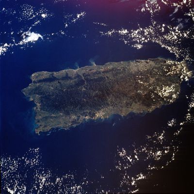
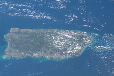
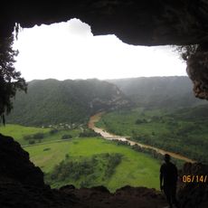
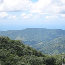
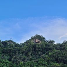
The geography of Puerto Rico covers a Caribbean archipelago on a tectonic plates boundary in the Greater Antilles, United States. The main territory divides into central mountain ranges, coastal plains and smaller offshore islands scattered across warm tropical waters.
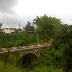
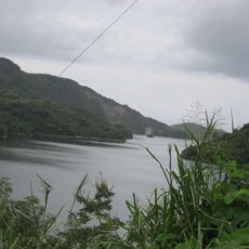
The archipelago formed through volcanic activity and tectonic shifts over millions of years at the edge of the Caribbean Plate. Later geological processes shaped today's coastlines and inland relief, which remain subject to seismic forces.
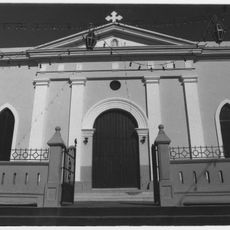
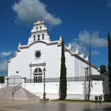
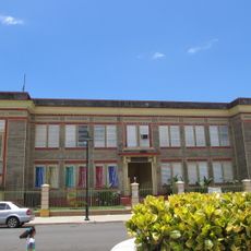
The territory comprises 78 municipalities, each with distinct administrative structures and local governments functioning under US federal oversight.
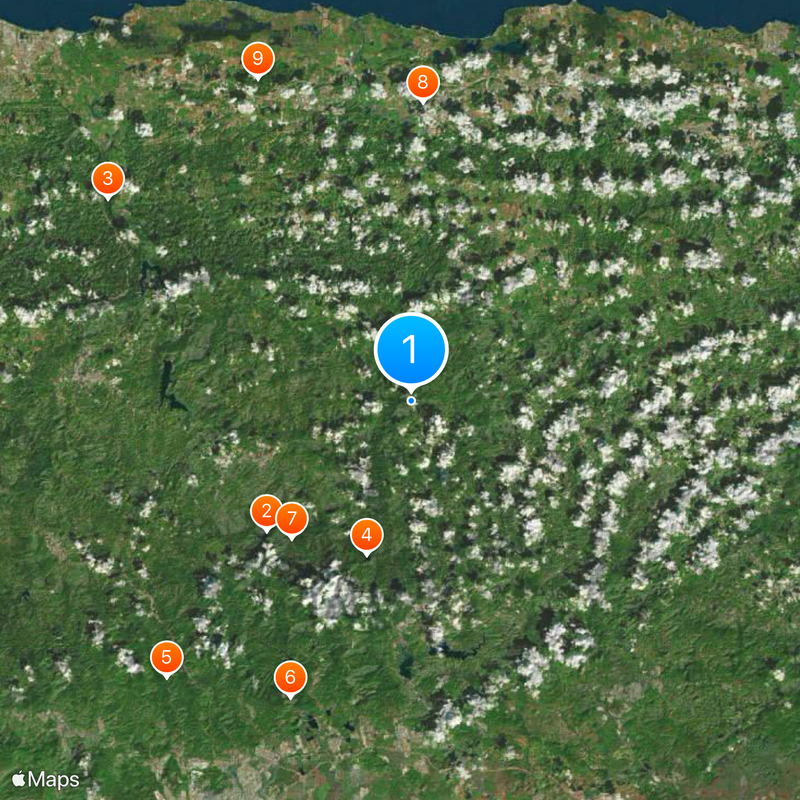
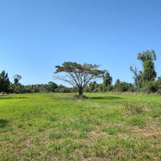
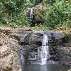
The northern side receives moist trade winds that bring frequent rainfall, while the sheltered southern side stays drier. Higher elevations in the central mountain range offer cooler temperatures than the hot coastal zones around the territory.
The Puerto Rico Trench off the northern coast forms one of the deepest underwater canyons on Earth and attracts marine biologists from around the world. This steep tectonic fault lies just a few kilometers from shore and shapes the visible coastal topography.
The community of curious travelers
AroundUs brings together thousands of curated places, local tips, and hidden gems, enriched daily by 60,000 contributors worldwide.