
Burns, city in Marion County, Kansas, United States
Location: Marion County
Inception: 1880
Elevation above the sea: 457 m
Website: http://BurnsKS.com
GPS coordinates: 38.09060,-96.88720
Latest update: March 9, 2025 18:27
El Dorado Lake
27.7 km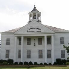
Alexanderwohl Mennonite Church
43.5 km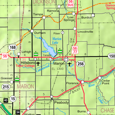
Marion Reservoir
35.5 km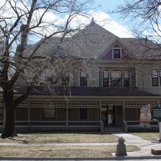
Warkentin House
40 km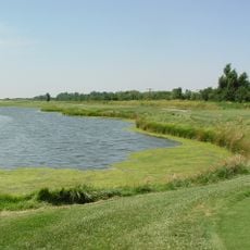
Sand Creek Station Golf Course
42.5 km
El Dorado State Park
27.5 km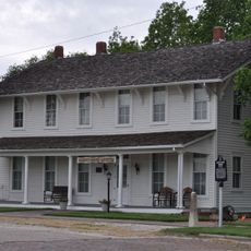
Harvey House
17 km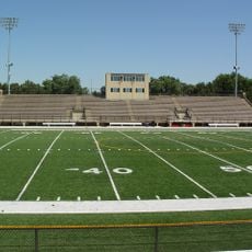
Fischer Field Stadium
41.4 km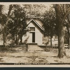
Peabody Historical Library Museum
21 km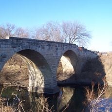
Clements Stone Arch Bridge
26.4 km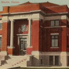
Carnegie Library
40.5 km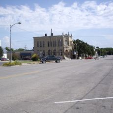
Peabody Downtown Historic District
21 km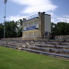
Peabody City Park
21.4 km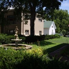
W.H. Morgan House
21 km
Cottonwood River Pratt Truss Bridge
19.4 km
Butler County Courthouse
30.6 km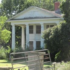
Crocker Ranch
29.7 km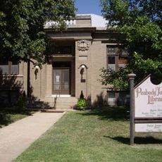
Peabody Township Library
21 km
El Dorado Carnegie Library
30.6 km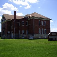
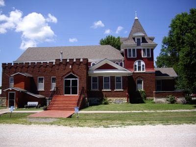
Burns Union School
190 m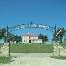
Clover Cliff Ranch House
31.6 km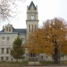
Marion County Courthouse
30.8 km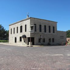
Chase County National Bank
43.5 km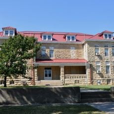
Cottonwood Falls Grade School
42.9 km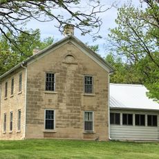
William C. & Jane Shaft House
28.4 km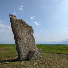
Teter Rock
41.2 km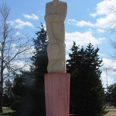
Mennonite Settler statue
41.5 km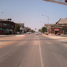
Newton Main Street Historic District II
40.4 kmVisited this place? Tap the stars to rate it and share your experience / photos with the community! Try now! You can cancel it anytime.
Discover hidden gems everywhere you go!
From secret cafés to breathtaking viewpoints, skip the crowded tourist spots and find places that match your style. Our app makes it easy with voice search, smart filtering, route optimization, and insider tips from travelers worldwide. Download now for the complete mobile experience.

A unique approach to discovering new places❞
— Le Figaro
All the places worth exploring❞
— France Info
A tailor-made excursion in just a few clicks❞
— 20 Minutes