Chest opened
+${chestReward.xp} XP
Explorer
NOUVEAU ×${chestReward.collectible.quantity}
tapez pour fermer

See the monuments around you in AR Open chests in the app

Around Us is built for your phone — point your camera at the streets and discover the monuments and places around you in augmented reality. Around Us is built for your phone — chests unlock when you walk, explore and capture nearby places.

Enable Location

We need your location to show you interesting places around you

Discover nearby places

Find interesting locations and hidden gems around you

Precise directions

Get accurate directions and distances to places

Your location is never shared with other users. It's only used when you tap the location button.

Saugerties

Log in to your account

Start exploring — it's free

Trusted by 86,165 travelers worldwide

Continue with Google
Continue with Apple
or

We will send you a code to connect

By continuing, you accept our Terms and Conditions and our Privacy Policy

Check your inbox

We've sent a pincode in your inbox. Please enter the code below.

Discussion Reviews 4 Photos
55.1k Popularity

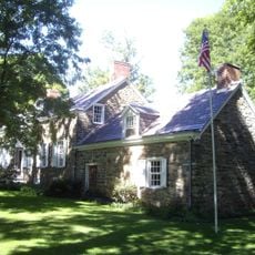
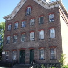
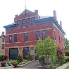
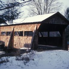
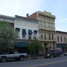
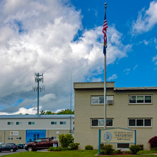
Saugerties, Administrative district in Ulster County, New York.

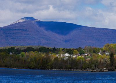
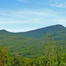
Saugerties is a town in Ulster County in the state of New York that sits along the eastern shore of the Hudson River. The Esopus Creek runs through the area and connects several hamlets, while the Catskill Mountains form the western horizon.

A sawmill was established here in the 1650s to supply timber for Dutch settlements in the valley. In the 19th century the town grew through shipping and industrial operations that used the waterpower of the creek.

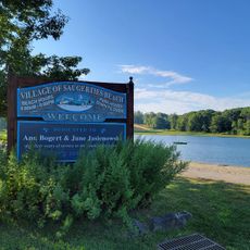
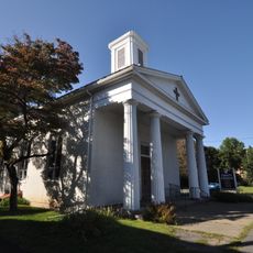
The name comes from the Dutch word for sawmill and recalls the early timber operations along the river. Today residents spend time in local parks by the water and attend cultural events at the historic theater, which still hosts music and performances.

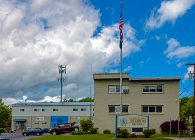
Town offices are open on weekdays and provide information about public facilities and recreation opportunities in the area. Public meetings of the Town Board happen twice a month on Wednesday evenings and are open to visitors.

Several waterfalls form along the Esopus Creek where the water flows over flat rocks and creates small pools. A dam from the early 20th century divides the creek into two distinct sections that each create different landscapes.

The community of curious travelers

AroundUs brings together thousands of curated places, local tips, and hidden gems, enriched daily by 60,000 contributors worldwide.
Start exploring
Location
GPS coordinates
42.09137,-73.99717
Latest update
September 12, 2026 04:52
Around this place
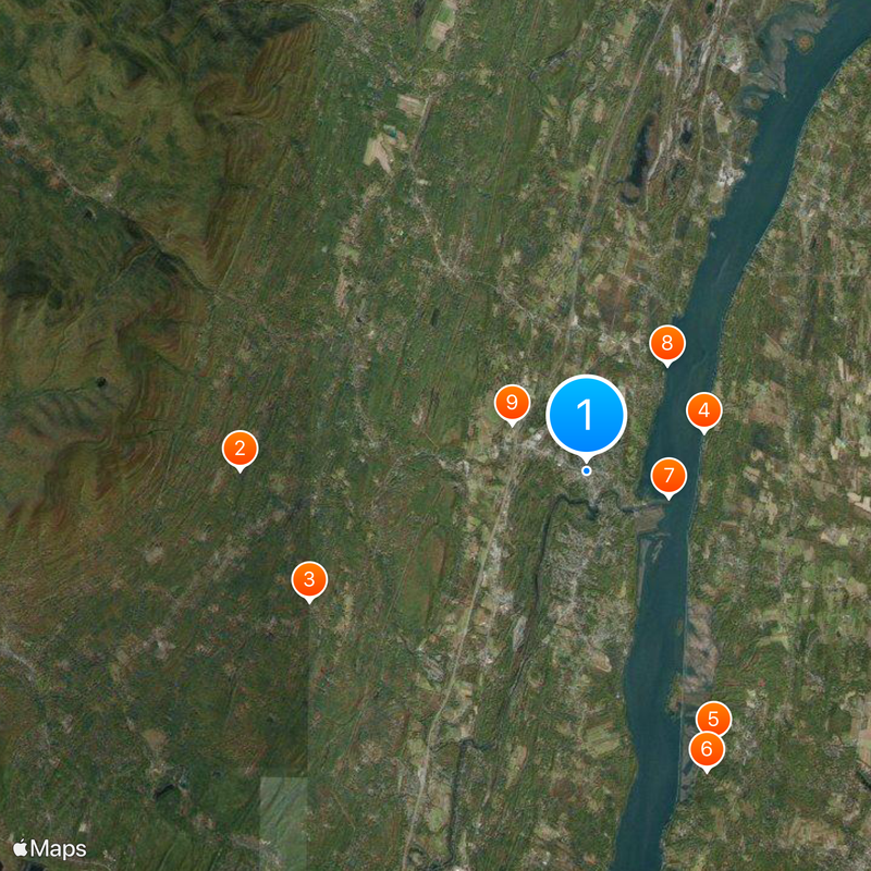
Big Pink
United States of America

Big Pink

2.9 mi
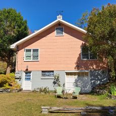
Opus 40
United States of America

Opus 40

3.3 mi
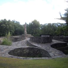
Clermont State Historic Site
United States of America

Clermont State Historic Site

4.6 mi
United States of America

Bard Graduate Center

6.4 mi
Montgomery Place
United States of America

Montgomery Place

6.7 mi
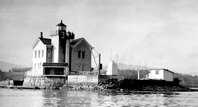
Saugerties Light
United States of America

Saugerties Light

3.7 mi
Bristol Beach State Park
United States of America

Bristol Beach State Park

3.5 mi
Wynkoop House
United States of America

Wynkoop House

1.2 mi
United States of America

Hessel Museum of Art

6.5 mi
Kiersted house
United States of America

Kiersted house

2.6 mi
Loerzel Beer Hall
United States of America

Loerzel Beer Hall

2.6 mi
Watts De Peyster Fireman's Hall
United States of America

Watts De Peyster Fireman's Hall

4.9 mi
United States of America

Augusta Savage House and Studio

1.8 mi
Trinity Episcopal Church Complex
United States of America

Trinity Episcopal Church Complex

3 mi
United States of America

Osterhoudt Stone House

5.5 mi
United States of America

Trumpbour Homestead Farm

4.1 mi
Tuscarora Club Bridge
United States of America

Tuscarora Club Bridge

0.9 mi
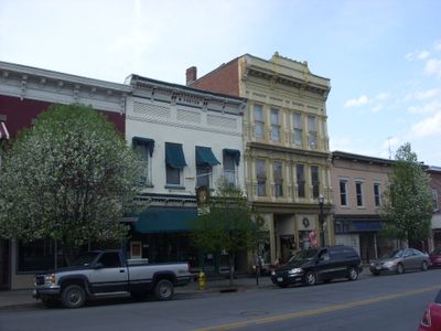
Main–Partition Streets Historic District
United States of America

Main–Partition Streets Historic District

2.5 mi
United States of America

Schalks Falls

3.1 mi
United States of America

Clermont Estates Historic District

4.3 mi
Saugerties Beach
United States of America

Saugerties Beach

2.7 mi
Kaaterskill High Peak
United States of America

Kaaterskill High Peak

6.5 mi
Woodstock Museum
United States of America

Woodstock Museum

2.8 mi
United States of America

Blue Mountain Reservoir

1.7 mi
United States of America

Trap Cliff

6.8 mi
United States of America

Lazy Swan Golf & Country Club

2.7 mi
United States of America

Ballinger Gallery

3.8 mi
United States of America

The Query Family

3.3 mi
Show the full map
Reviews
Share your experience

No review yet

Discussions
Start a discussion...

No discussion yet

« Saugerties - Administrative district in Ulster County, New York » is provided by Around Us (aroundus.com). Images and texts are derived from Wikimedia project under a Creative Commons license. You are allowed to copy, distribute, and modify copies of this page, under the conditions set by the license, as long as this note is clearly visible.

Discover hidden gems everywhere you go!

From secret cafés to breathtaking viewpoints, skip the crowded tourist spots and find places that match your style. Our app makes it easy with voice search, smart filtering, route optimization, and insider tips from travelers worldwide. Download now for the complete mobile experience.

Around Us App Screenshot

A unique approach to discovering new places

Le Figaro

All the places worth exploring

France Info

A tailor-made excursion in just a few clicks

20 Minutes

Around Us
Travel Guide & Maps
Download

Send to your phone

QR Code
1

Open the camera app on your mobile.

2

Point at the QR code with your camera. A notification will appear.

3

Tap the notification to open the link.