Pea Island National Wildlife Refuge

Log in to your account

AroundUs is a community-driven map of interesting places, built by curious explorers like you. It grows with every review, story, and photo you share.
Connect to save your favorite spots, contribute locations, and create personalized routes.
By continuing, you accept our Terms and Conditions and our Privacy Policy

Pea Island National Wildlife Refuge

Add to collection
Map
Suggest a change
Share

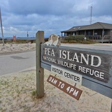
Pea Island National Wildlife Refuge, Nature reserve on Hatteras Island, North Carolina, United States.

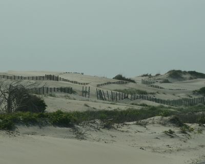
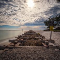
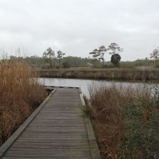
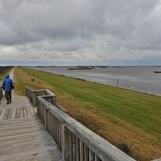
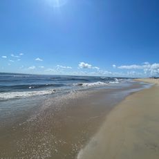
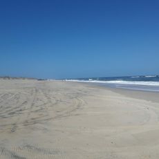
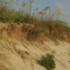
This federal wildlife refuge spans approximately 13 miles along the northern coast of Hatteras Island, encompassing over 5,800 acres of diverse coastal habitats including salt marshes, brackish ponds, high sand dunes, and Atlantic Ocean beaches that support hundreds of bird species and other wildlife throughout the year.

Established in 1938 as part of early conservation efforts, the refuge was created to protect this barrier island ecosystem from development and provide a sanctuary for migratory birds, transforming an area that was previously popular for waterfowl hunting into a protected habitat along the Atlantic Flyway migration route.

The refuge serves as an important educational and research center where scientists study coastal ecosystems and climate change impacts, while offering interpretive programs, guided bird walks, and annual events like the Wings Over Water festival that foster environmental awareness and stewardship among visitors and local communities.

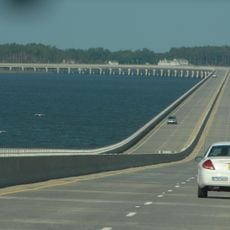
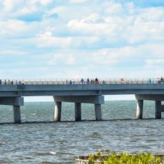
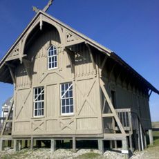
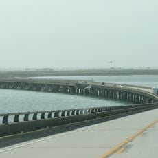
Visitors can access the refuge via North Carolina Highway 12, with a visitor center providing educational exhibits, telescopes for wildlife observation, and information about current sightings, while multiple trails including the North Pond Wildlife Trail offer opportunities for birdwatching, photography, and exploration of the diverse coastal habitats.

The refuge protects critical nesting sites for endangered loggerhead sea turtles and serves as a vital stopover point for over 370 bird species during their seasonal migrations, including rare sightings of tundra swans, snow geese, and peregrine falcons that depend on these coastal wetlands for survival.

Location: Dare County

Operator: United States Fish and Wildlife

Website: https://fws.gov/refuge/pea_island

GPS coordinates: 35.66189,-75.48939

Latest update: July 23, 2025 15:16

Photos
Around this place
Show the full map
Bodie Island Light
United States of America

Bodie Island Light

18.7 km
Virginia Dare Memorial Bridge
United States of America

Virginia Dare Memorial Bridge

33.3 km
North Carolina Aquariums
United States of America

North Carolina Aquariums

34.5 km
Rodanthe Bridge
United States of America

Rodanthe Bridge

5.8 km
Chicamacomico Life-Saving Station
United States of America

Chicamacomico Life-Saving Station

7.8 km
Coquina Beach
United States of America

Coquina Beach

20.2 km
Roanoke Island Festival Park
United States of America

Roanoke Island Festival Park

32.1 km
Roanoke Marshes Light
United States of America

Roanoke Marshes Light

25.3 km
Sea Foam Motel
United States of America

Sea Foam Motel

29.3 km
Salvo Post Office
United States of America

Salvo Post Office

13.6 km
Nags Head Beach Cottages Historic District
United States of America

Nags Head Beach Cottages Historic District

35 km
Bodie Island Lifesaving and Coast Guard Station
United States of America

Bodie Island Lifesaving and Coast Guard Station

19.7 km
George Washington Creef House
United States of America

George Washington Creef House

32 km
Mattie Midgett Store and House
United States of America

Mattie Midgett Store and House

35 km
University of North Carolina - Coastal Studies Institute
United States of America

University of North Carolina - Coastal Studies Institute

28.2 km
Rasmus Midgett House
United States of America

Rasmus Midgett House

13.1 km
John T. Daniels House
United States of America

John T. Daniels House

32.4 km
Theodore S. Meekins House
United States of America

Theodore S. Meekins House

32.1 km
Washington Baum Bridge
United States of America

Washington Baum Bridge

28.9 km
Bodie Island Light Station
United States of America

Bodie Island Light Station

18.7 km
Bodie Island Visitor Center
United States of America

Bodie Island Visitor Center

18.7 km
Rodanthe Public Beach Access
United States of America

Rodanthe Public Beach Access

7.9 km
North Pond Wildlife Trail
United States of America

North Pond Wildlife Trail

6 km
Coquina Beach
United States of America

Coquina Beach

20.1 km
Pea Island National Wildlife Refuge Visitor Center
United States of America

Pea Island National Wildlife Refuge Visitor Center

6.1 km
Bald Beach
United States of America

Bald Beach

27.7 km
Pea Island Beach
United States of America

Pea Island Beach

6.5 km
Herbert C. Bonner Bridge
United States of America

Herbert C. Bonner Bridge

12.9 km
Show the full map
Reviews

Visited this place? Tap the stars to rate it and share your experience / photos with the community! Try now! You can cancel it anytime.

« Pea Island National Wildlife Refuge - Nature reserve on Hatteras Island, North Carolina, United States » is provided by Around Us (aroundus.com). Images and texts are derived from Wikimedia project under a Creative Commons license. You are allowed to copy, distribute, and modify copies of this page, under the conditions set by the license, as long as this note is clearly visible.

Discover hidden gems everywhere you go!

From secret cafés to breathtaking viewpoints, skip the crowded tourist spots and find places that match your style. Our app makes it easy with voice search, smart filtering, route optimization, and insider tips from travelers worldwide. Download now for the complete mobile experience.

Around Us App Screenshot

A unique approach to discovering new places

Le Figaro

All the places worth exploring

France Info

A tailor-made excursion in just a few clicks

20 Minutes