Chester

Log in to your account

AroundUs is a community-driven map of interesting places, built by curious explorers like you. It grows with every review, story, and photo you share.
Connect to save your favorite spots, contribute locations, and create personalized routes.
By continuing, you accept our Terms and Conditions and our Privacy Policy
Add to collection
Map
Suggest a change
Share

Chester, Census-designated place in Windsor County, Vermont, US

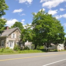
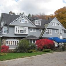
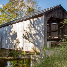
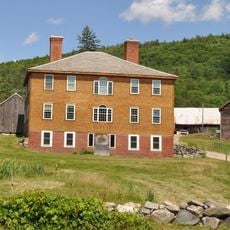
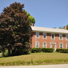
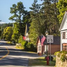
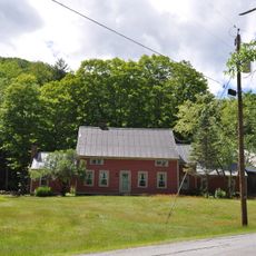
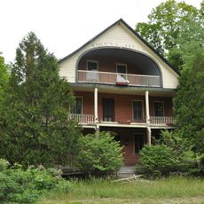
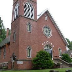
Chester is a census-designated community in Windsor County, Vermont, spread across rolling terrain with a mix of residential areas, small businesses, and municipal buildings. The landscape is typical of rural New England towns with scattered homes and local services.

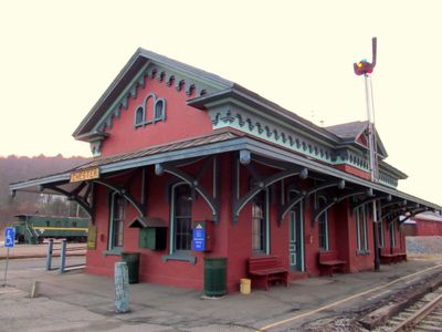
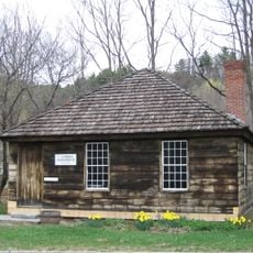
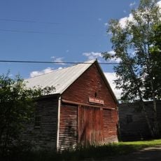
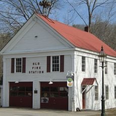
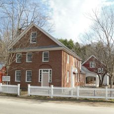
Chester began as a small settlement during Vermont's early colonization period and gradually became an organized administrative area. The presence of Chester Depot reflects the town's historical importance as a transportation point in the region.

Chester is a place where residents gather regularly to have a say in local decisions and how things are run. This direct participation in community matters is part of everyday life for those who live here.

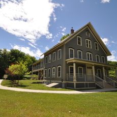
Chester has a municipal center where visitors can find local government services during standard weekday business hours. It's worth calling ahead to confirm that specific services are available when you plan to visit.

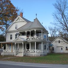
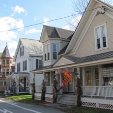
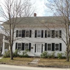
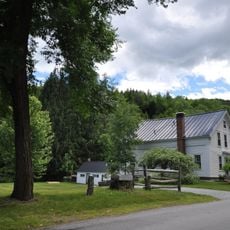
Chester actually exists in two distinct parts: the main village and Chester Depot, which function as separate areas with their own character. This split reflects how the town expanded over time while maintaining distinct neighborhood identities.

Location: Chester

GPS coordinates: 43.26280,-72.59500

Latest update: December 6, 2025 17:46

Photos
Hidden places in Vermont: granite quarries, covered bridges, historic villages

Vermont hides historic places away from main roads, often forgotten by hurried travelers. Here you find granite quarries still working or long abandoned, small rural schools from the 1800s where children learned together, wooden covered bridges, and waterfalls flowing through thick forests. Trails...

Around this place
Stellafane Observatory
United States of America

Stellafane Observatory

6.4 km
Bartonsville Covered Bridge
United States of America

Bartonsville Covered Bridge

6.4 km
Stone Village Historic District
United States of America

Stone Village Historic District

1.2 km
Hartness House
United States of America

Hartness House

10.4 km
Eureka Schoolhouse
United States of America

Eureka Schoolhouse

11.6 km
Worrall Covered Bridge
United States of America

Worrall Covered Bridge

7.5 km
Greenwood House
United States of America

Greenwood House

843 m
Park Farm
United States of America

Park Farm

8.4 km
Kidder Covered Bridge
United States of America

Kidder Covered Bridge

10.5 km
Jeffrey House
United States of America

Jeffrey House

1.8 km
Chester Village Historic District
United States of America

Chester Village Historic District

553 m
Park Street School
United States of America

Park Street School

9.8 km
Parker Hill Rural Historic District
United States of America

Parker Hill Rural Historic District

10.3 km
Middletown Rural Historic District
United States of America

Middletown Rural Historic District

8.6 km
Gould's Mill Bridge
United States of America

Gould's Mill Bridge

11.4 km
Grafton Public Library
United States of America

Grafton Public Library

10 km
Grafton Village Historic District
United States of America

Grafton Village Historic District

10.2 km
Rockingham Village Historic District
United States of America

Rockingham Village Historic District

12 km
Southview Housing Historic District
United States of America

Southview Housing Historic District

9.9 km
Lockwood-Boynton House
United States of America

Lockwood-Boynton House

9.6 km
Houghtonville Historic District
United States of America

Houghtonville Historic District

8.4 km
Augustus and Laura Blaisdell House
United States of America

Augustus and Laura Blaisdell House

638 m
Mechanicsville Historic District
United States of America

Mechanicsville Historic District

10.3 km
Grafton District Schoolhouse No. 2
United States of America

Grafton District Schoolhouse No. 2

10 km
Simons' Inn
United States of America

Simons' Inn

9.9 km
Springfield Downtown Historic District
United States of America

Springfield Downtown Historic District

9.9 km
Milldean and Alexander-Davis House
United States of America

Milldean and Alexander-Davis House

10.2 km
Springfield Cinemas 3
United States of America

Springfield Cinemas 3

10.1 km
Show the full map
Reviews

Visited this place? Tap the stars to rate it and share your experience / photos with the community! Try now! You can cancel it anytime.

« Chester - Census-designated place in Windsor County, Vermont, US » is provided by Around Us (aroundus.com). Images and texts are derived from Wikimedia project under a Creative Commons license. You are allowed to copy, distribute, and modify copies of this page, under the conditions set by the license, as long as this note is clearly visible.

Discover hidden gems everywhere you go!

From secret cafés to breathtaking viewpoints, skip the crowded tourist spots and find places that match your style. Our app makes it easy with voice search, smart filtering, route optimization, and insider tips from travelers worldwide. Download now for the complete mobile experience.

Around Us App Screenshot

A unique approach to discovering new places

Le Figaro

All the places worth exploring

France Info

A tailor-made excursion in just a few clicks

20 Minutes