
Orland, human settlement in Hancock County, Maine, United States of America
Location: Hancock County
Elevation above the sea: 79 m
GPS coordinates: 44.57028,-68.73583
Latest update: March 5, 2025 22:39

Fort Knox
5.3 km
Penobscot Narrows Bridge and Observatory
5.5 km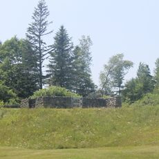
Fort George
20.7 km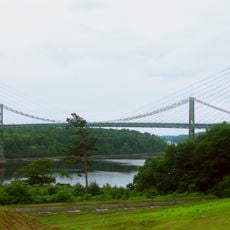
Waldo–Hancock Bridge
5.3 km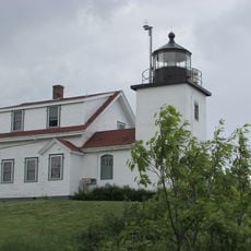
Fort Point Light
13 km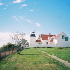
Fort Point State Park
13.3 km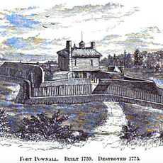
Fort Pownall Memorial
12.9 km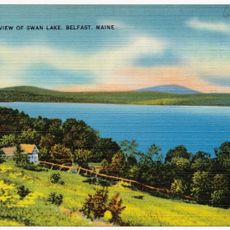
Swan Lake State Park
19.3 km
Penobscot Marine Museum
19.5 km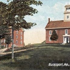
Wilson Hall
4.9 km
West Brooksville Congregational Church
19.6 km
Stockton Springs Community Church
13.1 km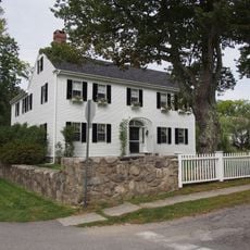
Cate House
20.9 km
Elm Street Congregational Church and Parish House
4.7 km
Capt. William McGilvery House
18.8 km
Capt. John McGilvery House
19 km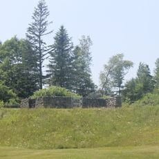
Castine Historic District
20.7 km
Searsport Historic District
19.6 km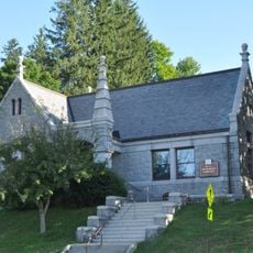
Buck Memorial Library
4.5 km
Nathan G. Hichborn House
13.2 km
East Main Street Historic District
19 km
James G. Pendleton House
20.4 km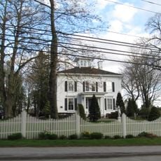
Capt. John P. Nichols House
19 km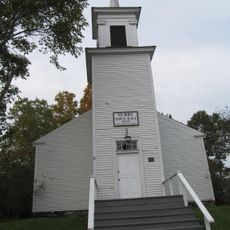
Surry Town Hall
20.6 km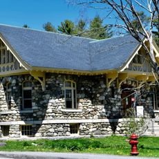
Carver Memorial Library
19.2 km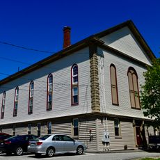
Union Hall
19.4 km
Phineas Heywood House
4.7 km
Winterport Historic District
11.5 kmReviews
Visited this place? Tap the stars to rate it and share your experience / photos with the community! Try now! You can cancel it anytime.
Discover hidden gems everywhere you go!
From secret cafés to breathtaking viewpoints, skip the crowded tourist spots and find places that match your style. Our app makes it easy with voice search, smart filtering, route optimization, and insider tips from travelers worldwide. Download now for the complete mobile experience.

A unique approach to discovering new places❞
— Le Figaro
All the places worth exploring❞
— France Info
A tailor-made excursion in just a few clicks❞
— 20 Minutes