Barre, town in Massachusetts, United States
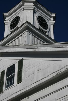
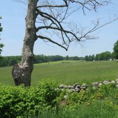
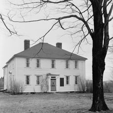
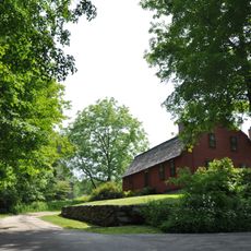
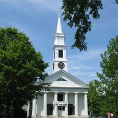
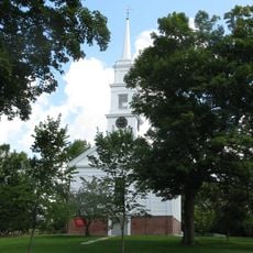
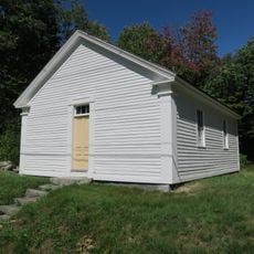
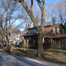
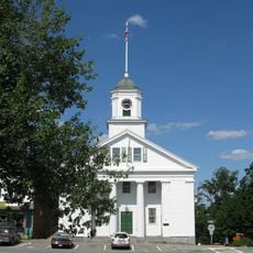
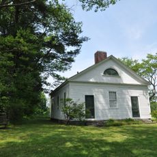
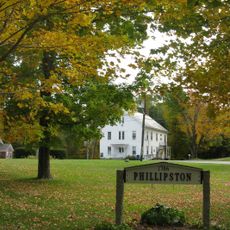
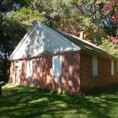
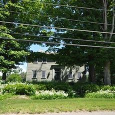
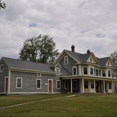
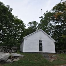
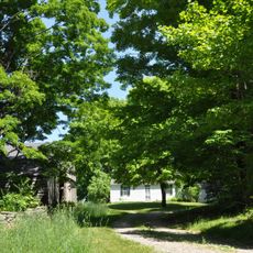
Barre is a small town in Worcester County, Massachusetts characterized by rolling hills, forests, and farmland spread across the landscape. The community features old residential buildings, quiet streets, and open green spaces that define its rural character.
Barre became an official town in 1774 and received its name two years later honoring Parliament member Isaac Barré. During the Civil War, the town was a major supplier of gunpowder for the Union Army, playing a significant role in the war effort.
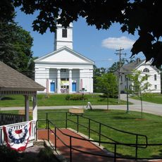
The town is named after Isaac Barré, a British Parliament member who opposed American taxation. Residents celebrate this heritage through local museums and summer concerts that bring the community together around shared traditions.
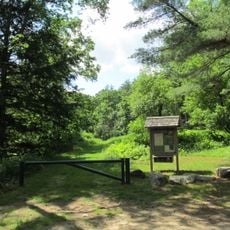
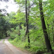
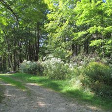
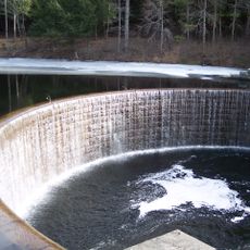
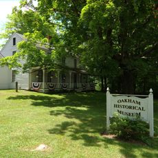
Visitors can explore the Barre Historical Society Museum to learn about local history through exhibits and artifacts. The Barre Falls Dam Recreation Area provides hiking trails, fishing spots, and picnic areas suitable for outdoor activities year-round.
During the Industrial Revolution, Barre produced farming tools and palm leaf hats, establishing itself as a manufacturing center beyond its Civil War contributions. This period of local craftsmanship shaped the town's early economic growth but remains less known to visitors today.
The community of curious travelers
AroundUs brings together thousands of curated places, local tips, and hidden gems, enriched daily by 60,000 contributors worldwide.