Enable Location

We need your location to show you interesting places around you

Discover nearby places

Find interesting locations and hidden gems around you

Precise directions

Get accurate directions and distances to places

Your location is never shared with other users. It's only used when you tap the location button.

Northeast Kingdom

Log in to your account

Start exploring — it's free

Trusted by 64,534 travelers worldwide

Continue with Google
Continue with Apple
or

We will send you a code to connect

By continuing, you accept our Terms and Conditions and our Privacy Policy

Check your inbox

We've sent a pincode in your inbox. Please enter the code below.

Northeast Kingdom
Discussion Reviews 3 Photos
46.4k Popularity

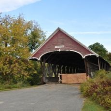
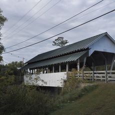
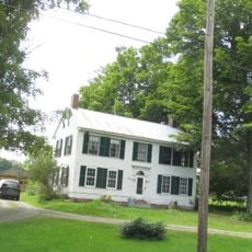
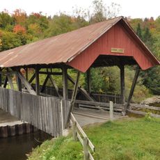
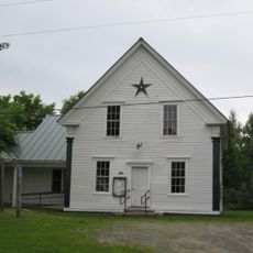
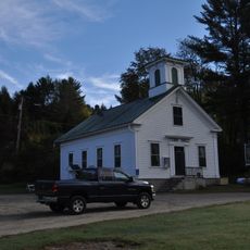
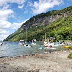
Northeast Kingdom, Natural region in northern Vermont, United States

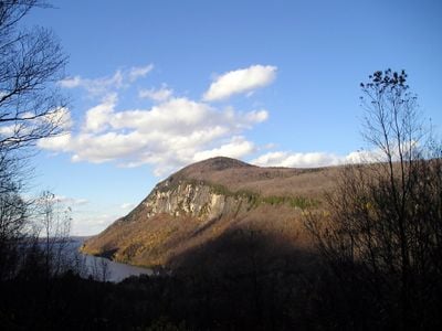
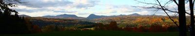
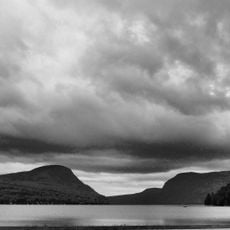
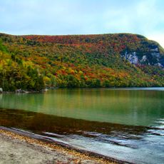
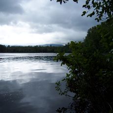
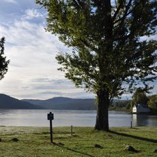
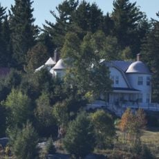
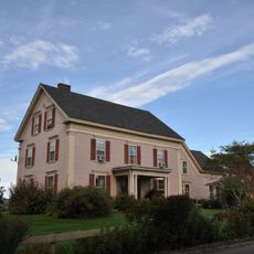
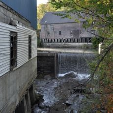
The Northeast Kingdom is a natural region in northern Vermont spanning three counties, defined by forested hills, mountains, and Lake Memphremagog along the Canadian border. The landscape combines dense woodlands with river valleys and smaller lakes scattered throughout.

Governor George D. Aiken coined the name Northeast Kingdom in 1949 to refer to the three northeastern counties of Vermont. The term took root and remains the primary way this region identifies itself today.

Art centers like Catamount Arts in St. Johnsbury and the MAC Center in Newport anchor the creative life of local communities with regular exhibitions and performances. These spaces reflect how residents actively support and celebrate artistic work throughout the region.

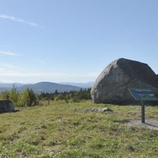
The region is crossed by well-maintained trails, particularly over 100 miles (160 km) of paths managed by the Kingdom Trail Association connecting various communities. Spring through fall offers the best conditions for exploring the roads and outdoor areas.

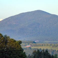
Jay Peak rises above the landscape at nearly 3,858 feet (1,176 m), formed from ancient volcanic islands that were shaped during tectonic plate movements. This geological history makes the mountain a visible record of the region's deep earth processes.

The community of curious travelers

AroundUs brings together thousands of curated places, local tips, and hidden gems, enriched daily by 60,000 contributors worldwide.

Start exploring
Location
Elevation above the sea
1,176 m
Part of
Vermont
GPS coordinates
44.64000,-72.04000
Latest update
December 14, 2025 19:51
Around this place
Bread and Puppet Theater
United States of America

Bread and Puppet Theater

12 km
Burke Mountain
United States of America

Burke Mountain

14 km
Dog Mountain
United States of America

Dog Mountain

23.3 km
Mount Hor
United States of America

Mount Hor

8.2 km
Willoughby State Forest
United States of America

Willoughby State Forest

8.6 km
Brighton State Park
United States of America

Brighton State Park

22.9 km
Crystal Lake State Park
United States of America

Crystal Lake State Park

15.7 km
Sentinel Rock State Park
United States of America

Sentinel Rock State Park

17.1 km
Burklyn Hall
United States of America

Burklyn Hall

8.7 km
Fox Hall
United States of America

Fox Hall

15.1 km
Darling Estate Historic District
United States of America

Darling Estate Historic District

8.7 km
Chamberlin Mill Covered Bridge
United States of America

Chamberlin Mill Covered Bridge

14 km
Old Schoolhouse Bridge
United States of America

Old Schoolhouse Bridge

14 km
Centre Covered Bridge
United States of America

Centre Covered Bridge

11.1 km
Methodist Episcopal Church
United States of America

Methodist Episcopal Church

17.5 km
Toll House
United States of America

Toll House

12 km
Bradley Covered Bridge
United States of America

Bradley Covered Bridge

11.2 km
Crystal Lake Falls Historic District
United States of America

Crystal Lake Falls Historic District

16 km
Union Meeting House
United States of America

Union Meeting House

7.5 km
District 6 School House
United States of America

District 6 School House

11.3 km
Riverside
United States of America

Riverside

14.6 km
Hardwick Street Historic District
United States of America

Hardwick Street Historic District

22.9 km
Burrington Covered Bridge
United States of America

Burrington Covered Bridge

11.1 km
King Block
United States of America

King Block

16.3 km
Island Pond Historic District
United States of America

Island Pond Historic District

23.2 km
Stannard Schoolhouse
United States of America

Stannard Schoolhouse

17.6 km
Wheelock Common Historic District
United States of America

Wheelock Common Historic District

6.7 km
South Beach
United States of America

South Beach

8.6 km
Show the full map
Reviews
Share your experience

No review yet

Discussions
Start a discussion...

No discussion yet

« Northeast Kingdom - Natural region in northern Vermont, United States » is provided by Around Us (aroundus.com). Images and texts are derived from Wikimedia project under a Creative Commons license. You are allowed to copy, distribute, and modify copies of this page, under the conditions set by the license, as long as this note is clearly visible.

Discover hidden gems everywhere you go!

From secret cafés to breathtaking viewpoints, skip the crowded tourist spots and find places that match your style. Our app makes it easy with voice search, smart filtering, route optimization, and insider tips from travelers worldwide. Download now for the complete mobile experience.

Around Us App Screenshot

A unique approach to discovering new places

Le Figaro

All the places worth exploring

France Info

A tailor-made excursion in just a few clicks

20 Minutes

Around Us
Travel Guide & Maps
Download

Send to your phone

QR Code
1

Open the camera app on your mobile.

2

Point at the QR code with your camera. A notification will appear.

3

Tap the notification to open the link.