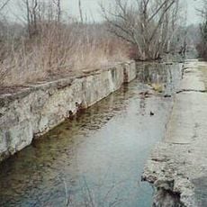
Helltown, Ohio, Former Native American settlement near Clear Creek, Ohio.
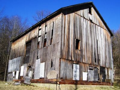
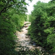
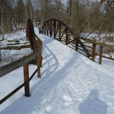
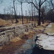
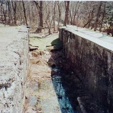
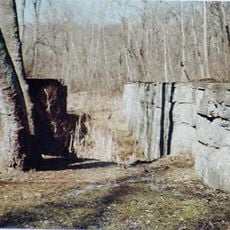
Helltown was a Lenape settlement at the meeting point of Clear Creek and Black Fork Mohican River in present-day Ohio. The raised site featured sandstone formations and compacted earth indicating permanent occupation.
The Lenape founded the village during the 1770s after leaving their eastern lands following the Treaty of Easton in 1758. The settlement remained occupied until the early 19th century when European migration into the region increased.
Residents adopted the name after learning the German word for clear, creating an unusual translation between two languages. This linguistic exchange reflects the contact between indigenous groups and European settlers in the region.
Archaeological excavations uncovered items such as iron knives, stone arrowheads, and brass musket parts at the site. These artifacts are now held in museum collections documenting the material culture of the inhabitants.
The settlement stood along a war trail extending roughly 30 miles from Sandusky to the Cuyahoga River valley. This path served as an important route connecting different indigenous groups across the territory.
Location: Ohio
GPS coordinates: 41.26330,-81.55940
Latest update: December 12, 2025 17:59
This collection presents locations around the world associated with ghost stories and unexplained events. From historic fortresses and former prisons to abandoned hospitals and old cemeteries, these sites have developed their own legends. Visitors can explore the Tower of London in England, where...
Blossom Music Center
8 km
Hale Farm and Village
8.3 km
Brandywine Falls
2.3 km
Boston Mills Historic District
122 m
Brecksville-Northfield High Level Bridge
6.9 km
Brecksville Reservation
6.7 km
Jaite Mill Historic District
2.4 km
Virginia Kendall State Park Historic District
6 km
Station Road Bridge
6.7 km
Everett Historic District
6.6 km
Valley Railway Historic District
4.1 km
Daniel Tilden House
3 km
Peninsula Village Historic District
2.6 km
Jim Brown Tavern
74 m
Coonrad Ranger Station
2.2 km
Allen Welton House
3.9 km
Charles B. Rich House
7.4 km
Camp Manatoc Dining Hall
5.3 km
Vaughn Site
3 km
Lock No. 34
2.9 km
Furnace Run Aqueduct
6.9 km
Lock No. 33
1.4 km
Lock No. 32
240 m
Lock No. 31
1.7 km
Lock No. 26
8.9 km
Blue Hen Falls
1.2 km
Everett Covered Bridge
6.9 km
Hunt House Visitor Information Center
7 kmVisited this place? Tap the stars to rate it and share your experience / photos with the community! Try now! You can cancel it anytime.
Discover hidden gems everywhere you go!
From secret cafés to breathtaking viewpoints, skip the crowded tourist spots and find places that match your style. Our app makes it easy with voice search, smart filtering, route optimization, and insider tips from travelers worldwide. Download now for the complete mobile experience.
A unique approach to discovering new places❞
— Le Figaro
All the places worth exploring❞
— France Info
A tailor-made excursion in just a few clicks❞
— 20 Minutes