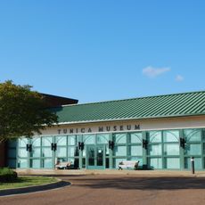
Arkansas Delta, Natural region in eastern Arkansas, US.
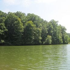
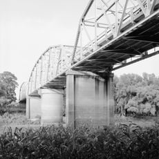
The Arkansas Delta is a natural region in eastern Arkansas that extends roughly 400 kilometers along the Mississippi River, defined by flat fertile plains and rich soils. The area is crisscrossed by numerous waterways and tributaries that create a network of streams and wetlands throughout the landscape.
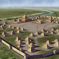
European settlement arrived around 1686 and gradually transformed the region from hunting grounds into developed territory. By the 1800s, the expansion of cotton plantations became the dominant force shaping the delta's economy and landscape.
The region developed a distinctive musical tradition when African influences mixed with local folk styles, shaping the blues sound that emerged here and spread across America.
The region is primarily agricultural, with expansive fields of cotton, rice, sugar cane, and soybeans that dominate the landscape and define the way the land is used. Visitors can explore the flat, open terrain fairly easily, as the Mississippi River provides several vantage points and access routes throughout the delta.
The delta contains five distinct sub-regions that reflect different geological features: the Arkansas River Lowlands, Crowley's Ridge, the Grand Prairie, the St. Francis Basin, and the White River Lowlands. These divisions show up in subtle variations across the landscape and soil composition.
The community of curious travelers
AroundUs brings together thousands of curated places, local tips, and hidden gems, enriched daily by 60,000 contributors worldwide.