Belleplain State Forest, State forest and protected area in Cape May and Cumberland Counties, New Jersey
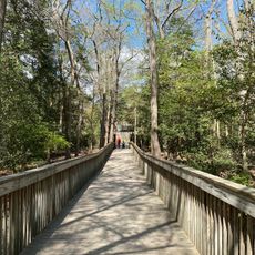
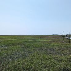
Belleplain State Forest is a protected woodland in southern New Jersey, made up of pine, oak, and Atlantic white cedar growing on flat, sandy ground. Wetlands and open clearings break up the tree cover, and Lake Nummy, an artificial lake at the center of the forest, is the main spot for swimming and boating.
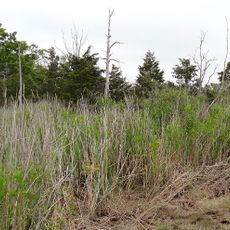
The land was once used for commercial cranberry farming before the Civilian Conservation Corps reshaped it in the 1930s. Workers drained the Meisle Cranberry Bog and turned it into Lake Nummy, which marked the start of the area as a public recreation forest.
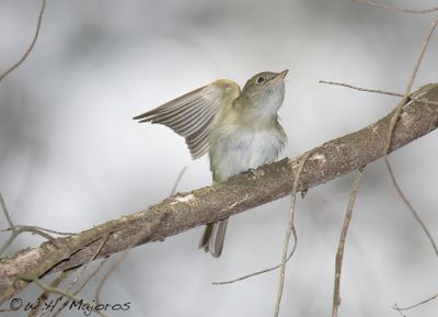
The forest sits within the New Jersey Pinelands, a sandy lowland region with a plant community found almost nowhere else on the East Coast. Birdwatchers come here regularly because the mix of wet and dry habitats draws species that are rarely seen in neighboring areas.
The forest has campgrounds with tent and trailer sites, and facilities are spread across the property to serve different areas. Activities change a lot with the seasons, so it helps to think ahead about what you want to do before arriving.
Lake Nummy is named after Chief Nummy, a Lenape leader who lived in the region in the 1600s. This connection to Native American history is easy to miss, but knowing it adds a layer to what looks like a simple swimming lake.
The community of curious travelers
AroundUs brings together thousands of curated places, local tips, and hidden gems, enriched daily by 60,000 contributors worldwide.